CoMaps is a free, offline map app that doesn't require an internet connection. It's open-source, ad-free, and doesn't track personal information.
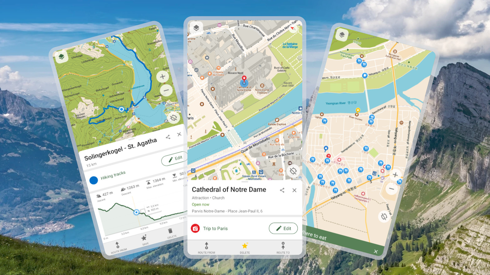
While map apps on smartphones are incredibly convenient for checking maps in unfamiliar places, they can be useless in areas without network coverage, leaving you stranded. CoMaps is an open-source map app designed to work even without an internet connection.
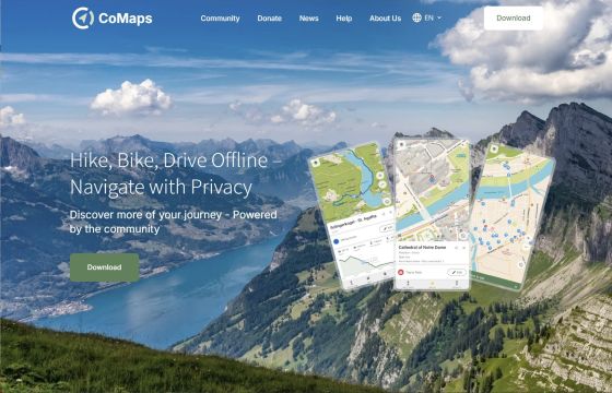
Hike, Bike, Drive Offline – Navigate with Privacy | CoMaps
◆Features
The features of CoMaps, as listed on the official website, are as follows:
- Offline support: Route search and navigation are possible using only GPS.
• No data collection: Designed with privacy in mind, it does not identify individuals, track users, or collect information.
• Battery saving: Uses battery efficiently
• Free to use: Operated by an open-source community
◆ Introduction
According to the official website, CoMaps can be installed on the following operating systems as of the time of writing this article.
・iOS : Via the App Store
Android : Available via Google Play, F-Droid, IzzyOnDroid, Obtainium, and Codeberg.
macOS : Via the App Store
• Linux : via Flathub
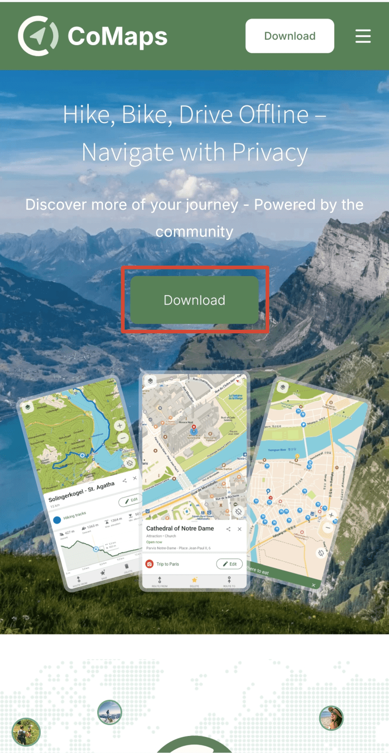
Given the nature of the app, it seems likely to perform best on mobile devices, so this time I'll install it on Android via Google Play. Open the official website on your Android smartphone and tap the 'Download' button.
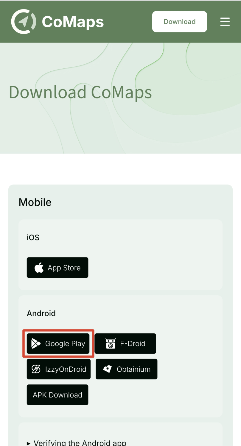
Tap the 'Google Play' banner under the 'Android' section.
The Google Play screen will open, so tap the 'Install' button.
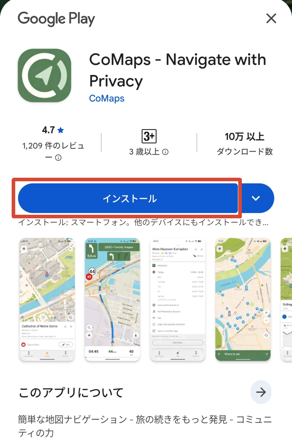
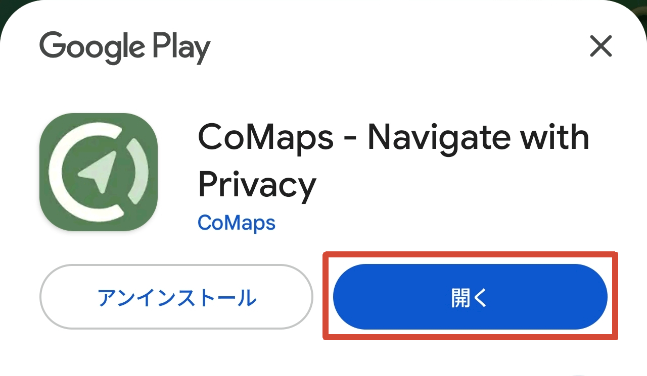
Once the installation is complete, an 'Open' button will appear; tap it to launch the CoMaps app.
◆Display map
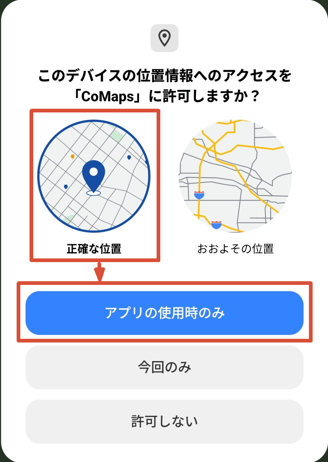
When you launch the app, a pop-up will appear asking, 'Do you want to allow CoMaps to access your device's location now?' Select 'Precise location' and tap the 'Only when using the app' button.
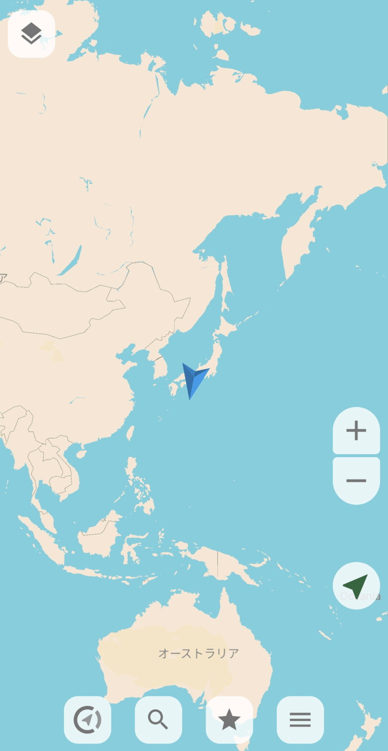
When you first launch the application, a blank world map will be displayed. Use the pinch button on the map or the zoom button on the right side of the screen to display a more detailed map.
Once the display area has narrowed to a certain extent, the offline map will be downloaded.
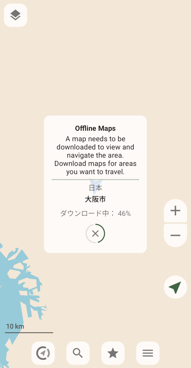
Once the download is complete, the map will switch from a blank map to a regular map.
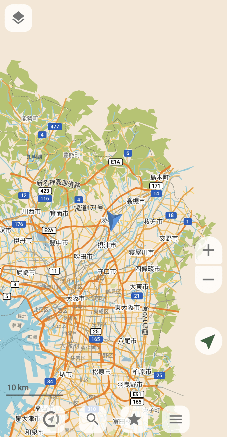
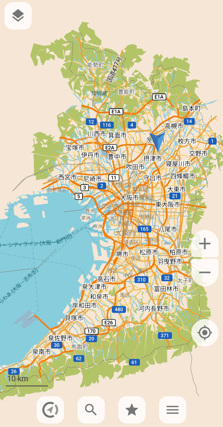
I don't have concrete proof, but it seems like people are downloading maps on a prefecture-by-prefecture basis.
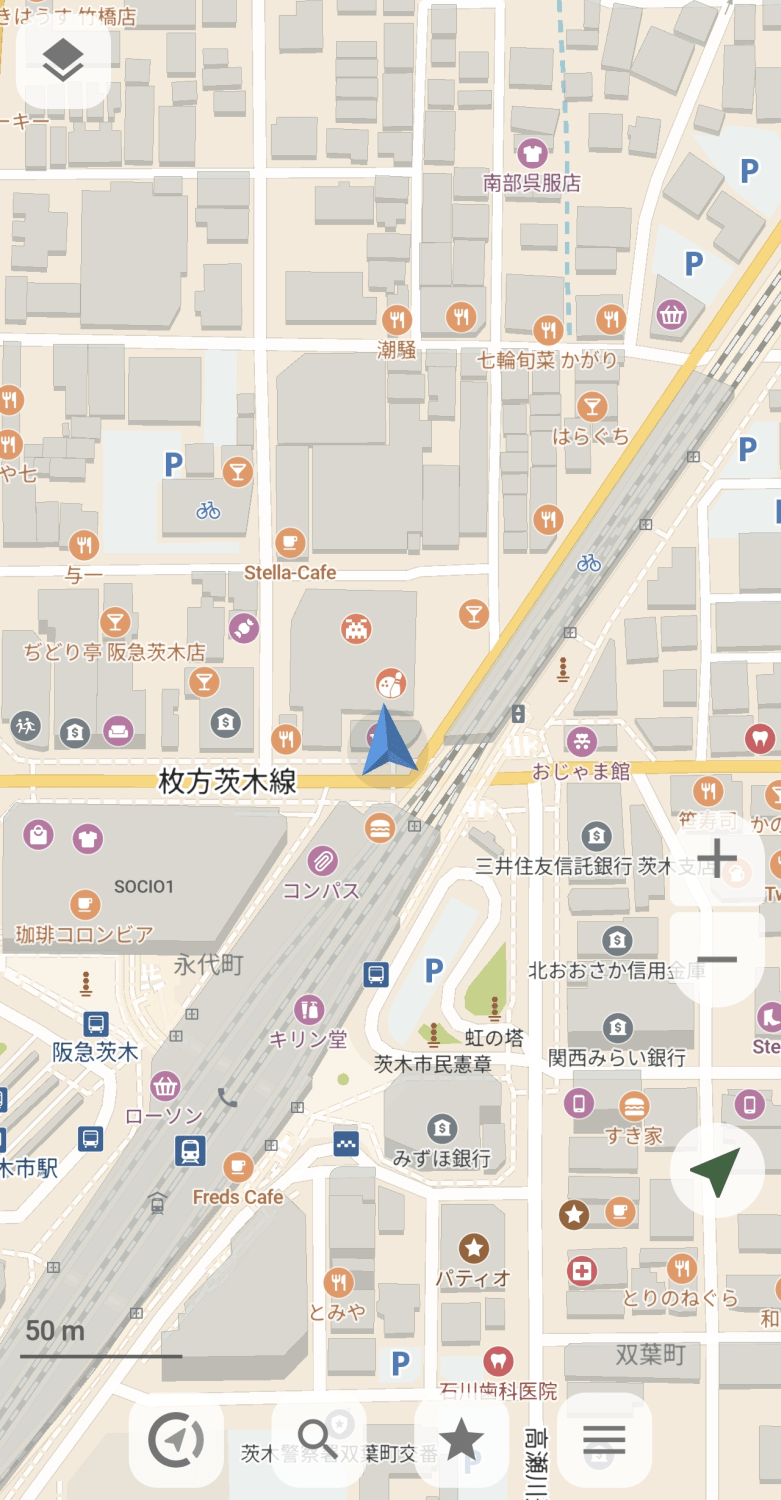
This is a zoomed-in view of the area around the current location.
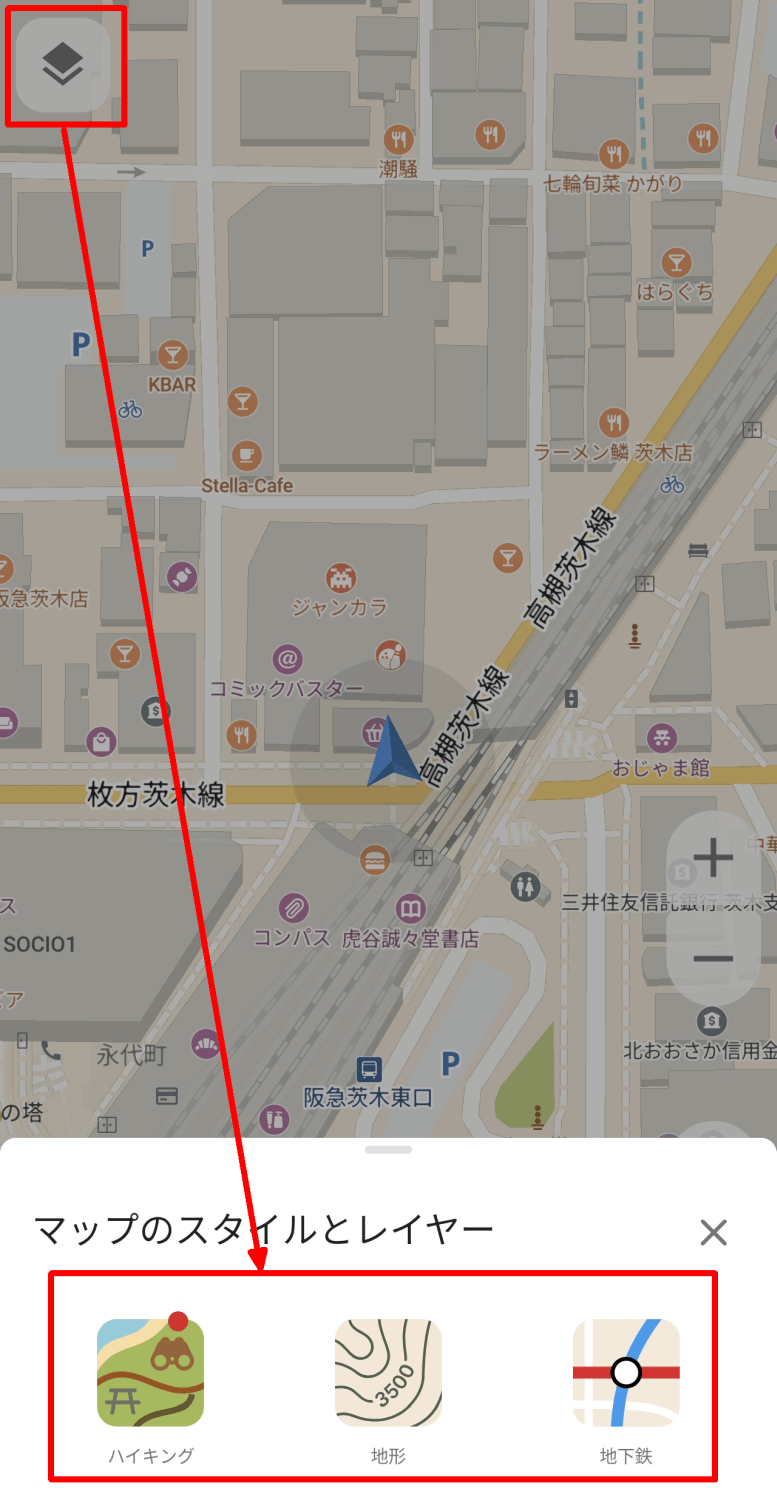
By tapping the layer icon in the upper left corner, you can add 'Hiking,' 'Terrain,' and 'Subway' layers to the map.
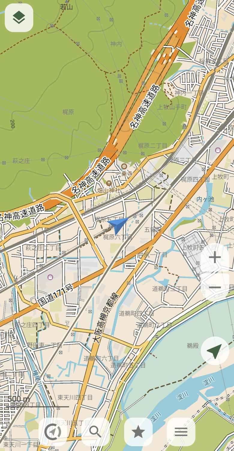
It's not very noticeable in urban areas, but if you enable the 'Hiking' or 'Terrain' layers near mountains, you can see hiking trails and contour lines.
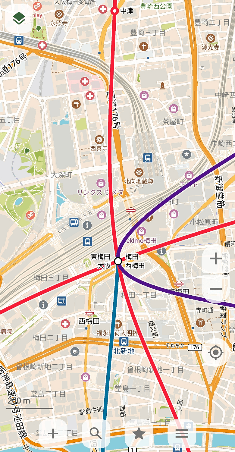
Conversely, the 'subway' layer is particularly effective in urban areas. Even without familiarity with the area, you can quickly determine which lines are nearby.
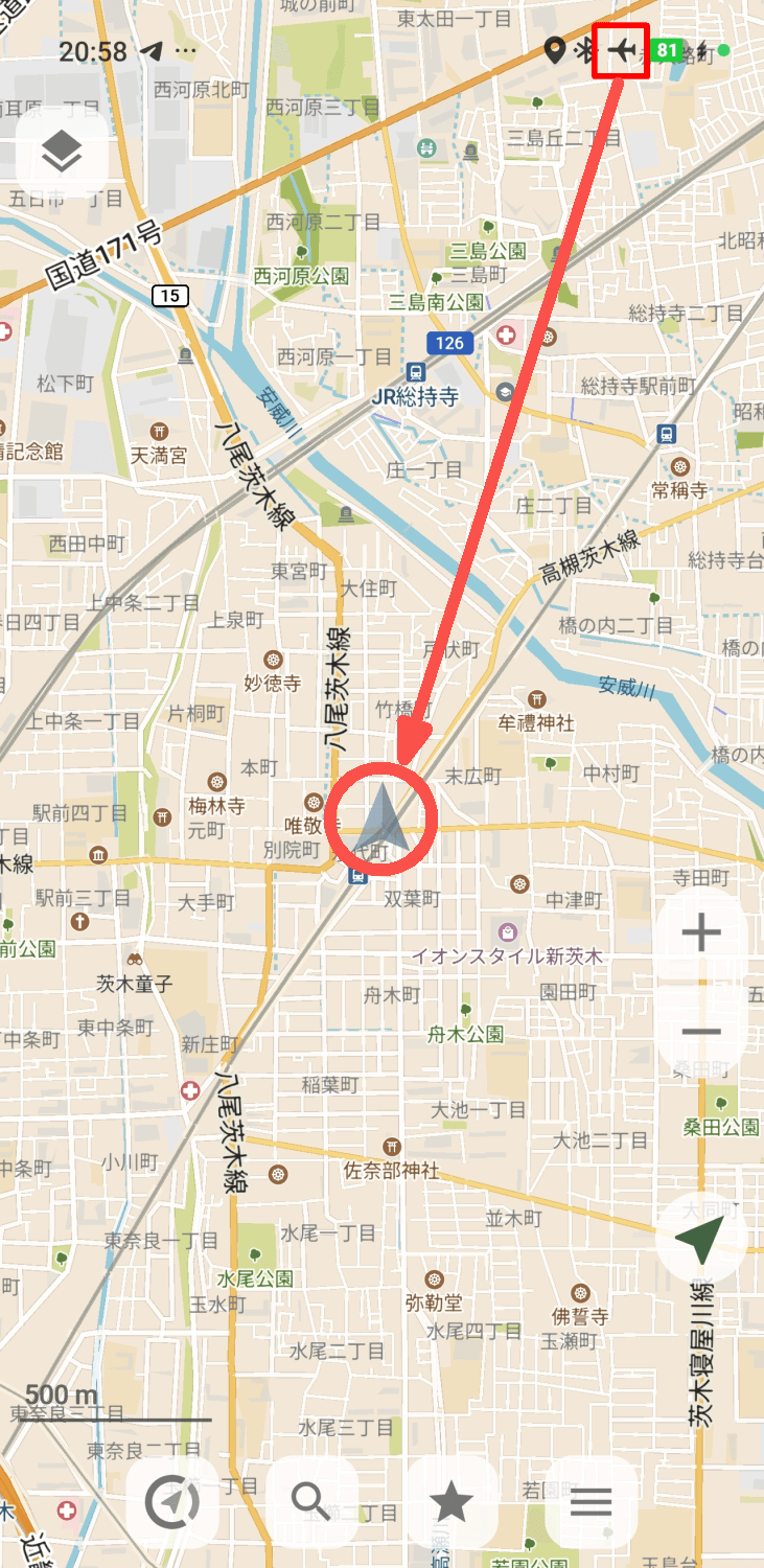
I tried putting the device into 'airplane mode' to simulate a situation without internet connectivity, but the map still displayed correctly even offline. This suggests that you should be able to check the map without any problems even when hiking through areas with poor reception. Additionally, when offline, the marker indicating your current location becomes semi-transparent, allowing you to see the current signal strength at a glance.
Assuming a scenario where maps other than the current location are downloaded in advance, I displayed a location that was currently a blank map. A pop-up prompting me to download the offline map appeared, so I tapped the 'Download' button.
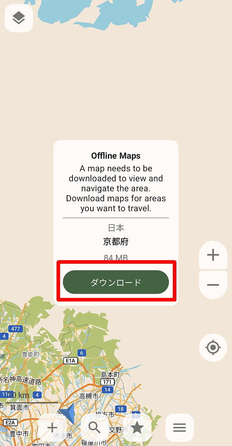
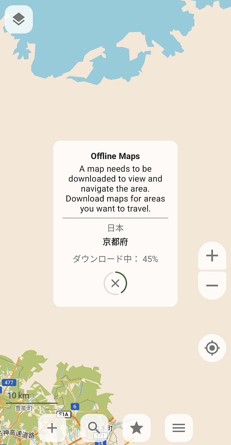
The download has started.
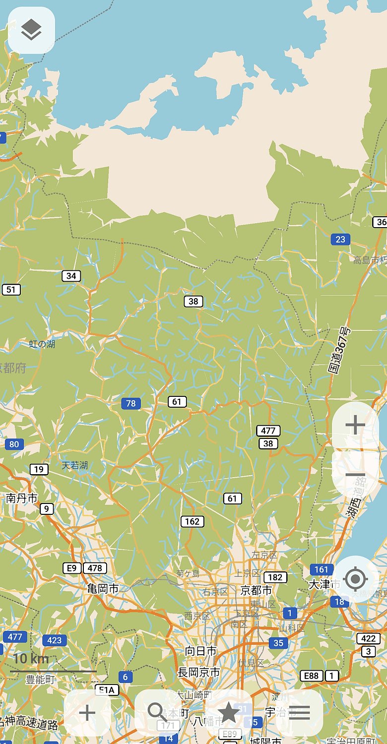
The map data was reflected once the download was complete. For some reason, this time it seems that map data for the neighboring prefecture was also acquired simultaneously.
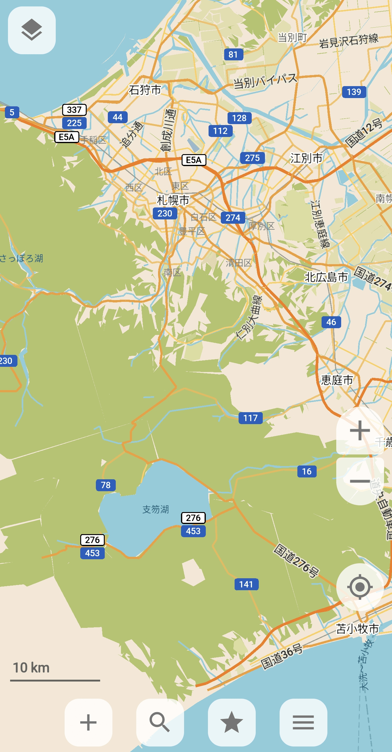
I wanted to see how extensive the map data obtained at once was, so I downloaded map data for the area around Sapporo City for reference.
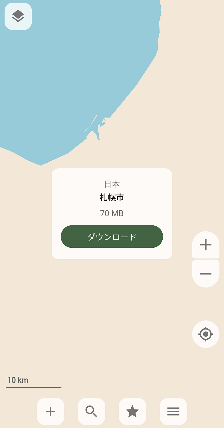
Upon checking the map, I was able to obtain data from around Tobetsu Town to around Tomakomai City. It wasn't the entire Hokkaido region, as expected.
◆Other features
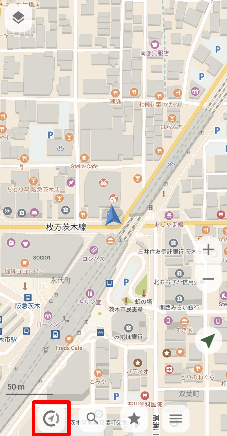
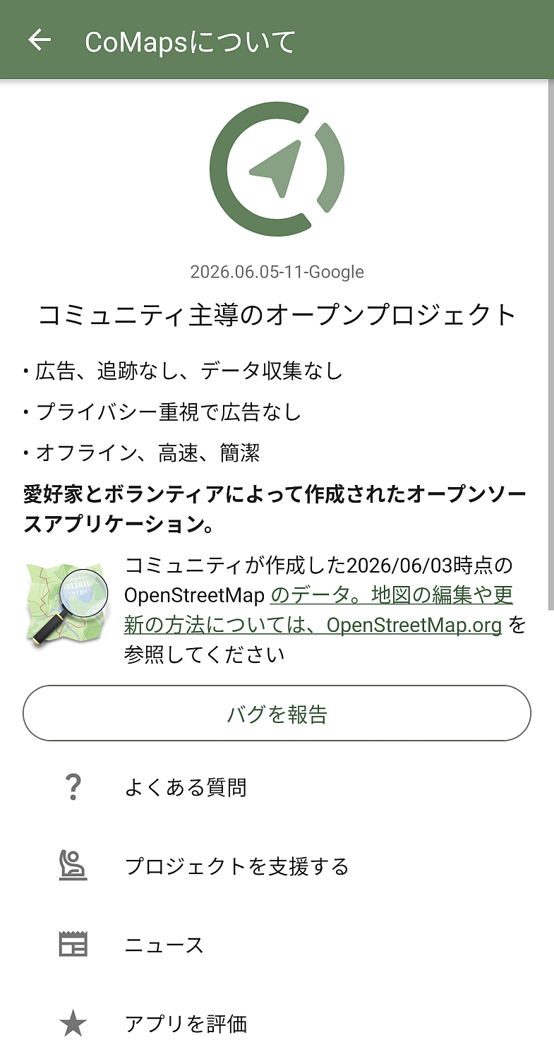
Four buttons are displayed at the bottom of the screen. Tapping the leftmost button, which displays the CoMaps app logo, will by default display the 'About CoMaps' screen. Note that the function of this button can be changed in the 'Left Button Settings' in the settings.
On the 'About CoMaps' screen, in addition to the 'Report a Bug' function, the following links are displayed:
·FAQ
• Support the project
·news
- Rate the app
• Website
Codeberg
Mastodon
Matrix
・Lemmy
・Bluesky
Pixelfed
・OpenStreetMap
Email
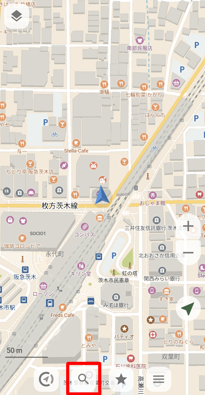
Tapping the magnifying glass icon, the second button from the left, will display the search screen.
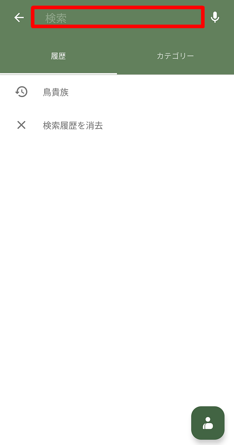
You can specify what you want to search for on the map by typing text at the top of the search screen. The 'History' tab is selected by default, allowing you to reuse words you've searched for in the past.
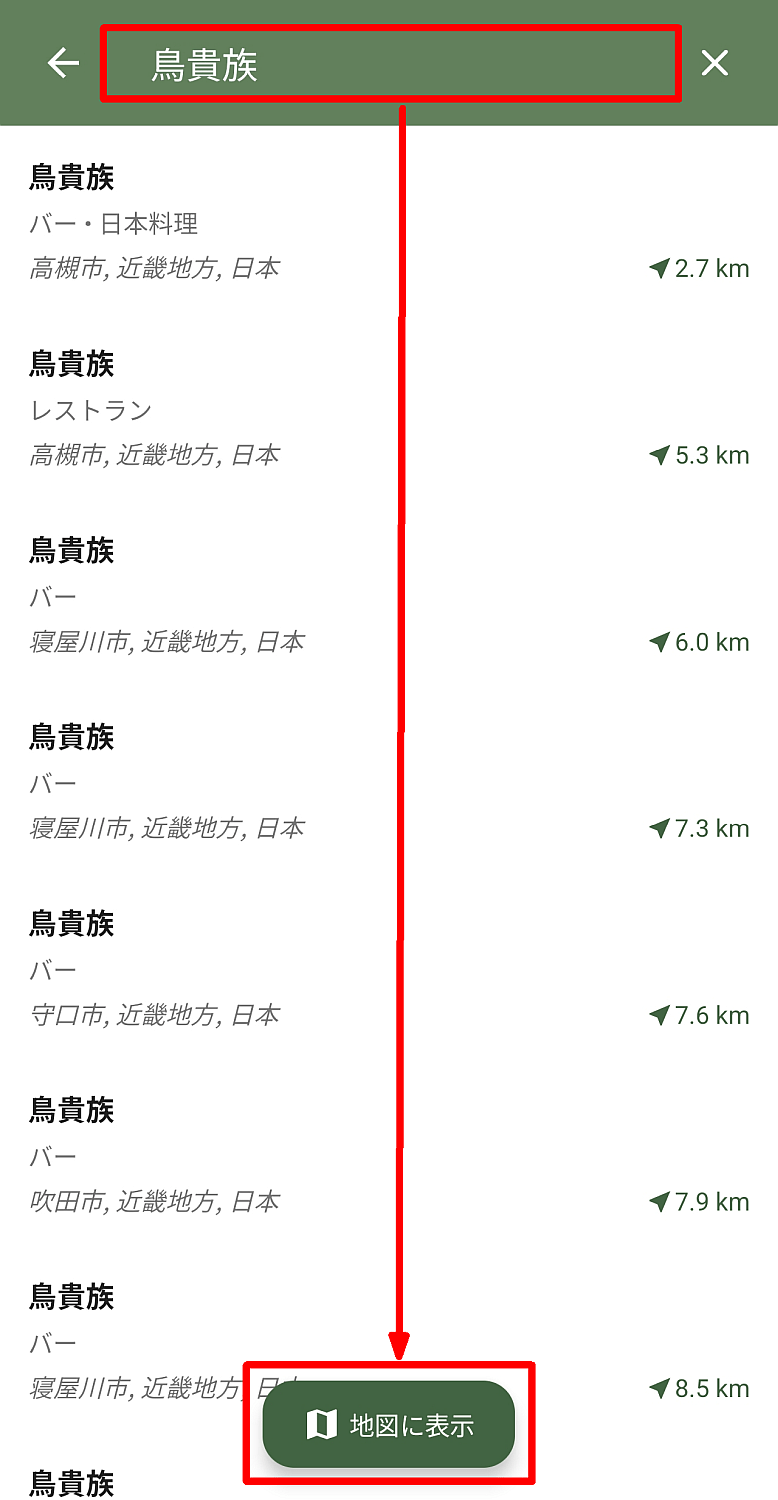
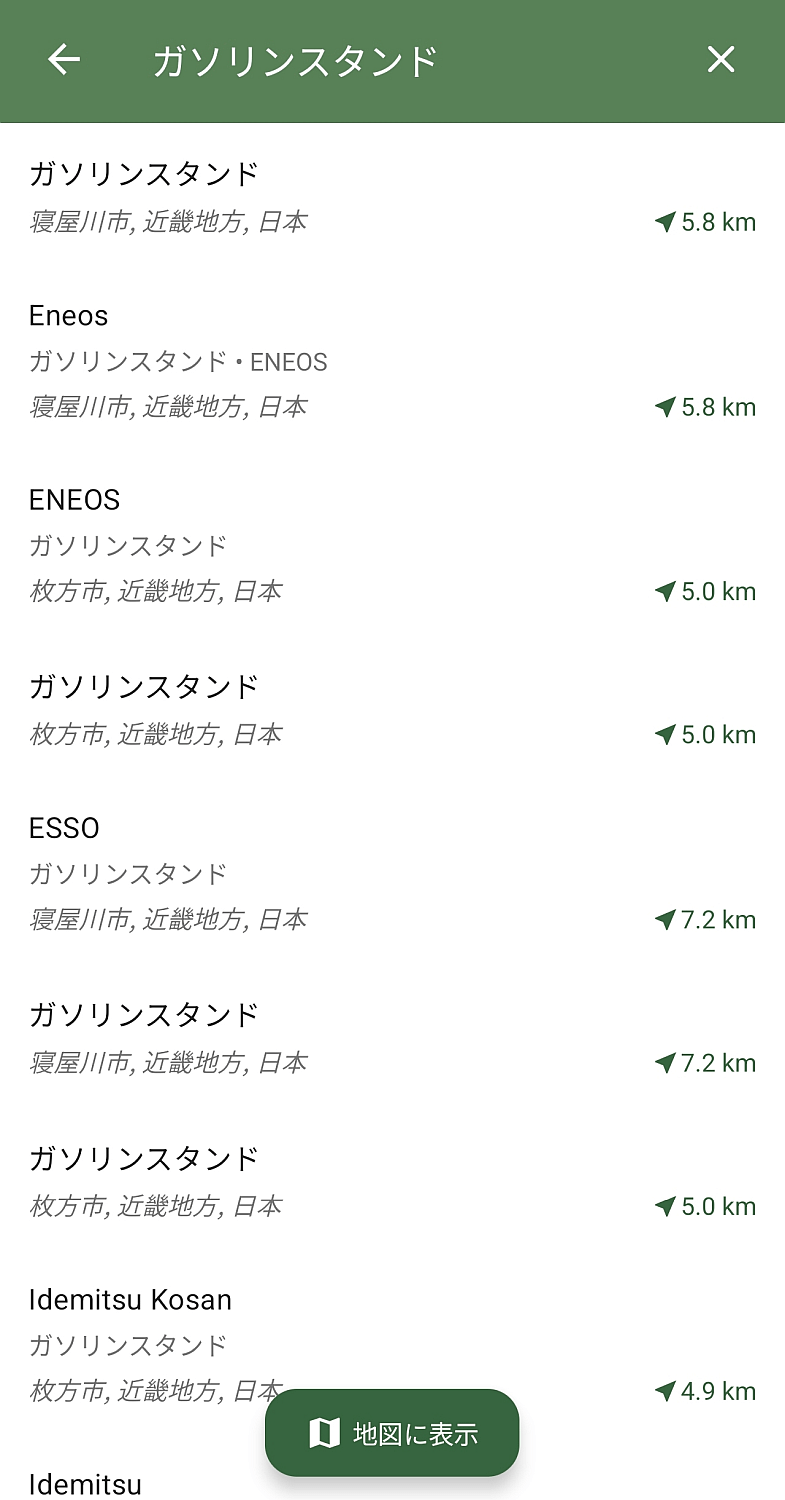
Once the items matching your search term are displayed in a list, you can select them individually from the list, or you can tap the 'Show on Map' button at the bottom of the screen to display all the matching items on the map.
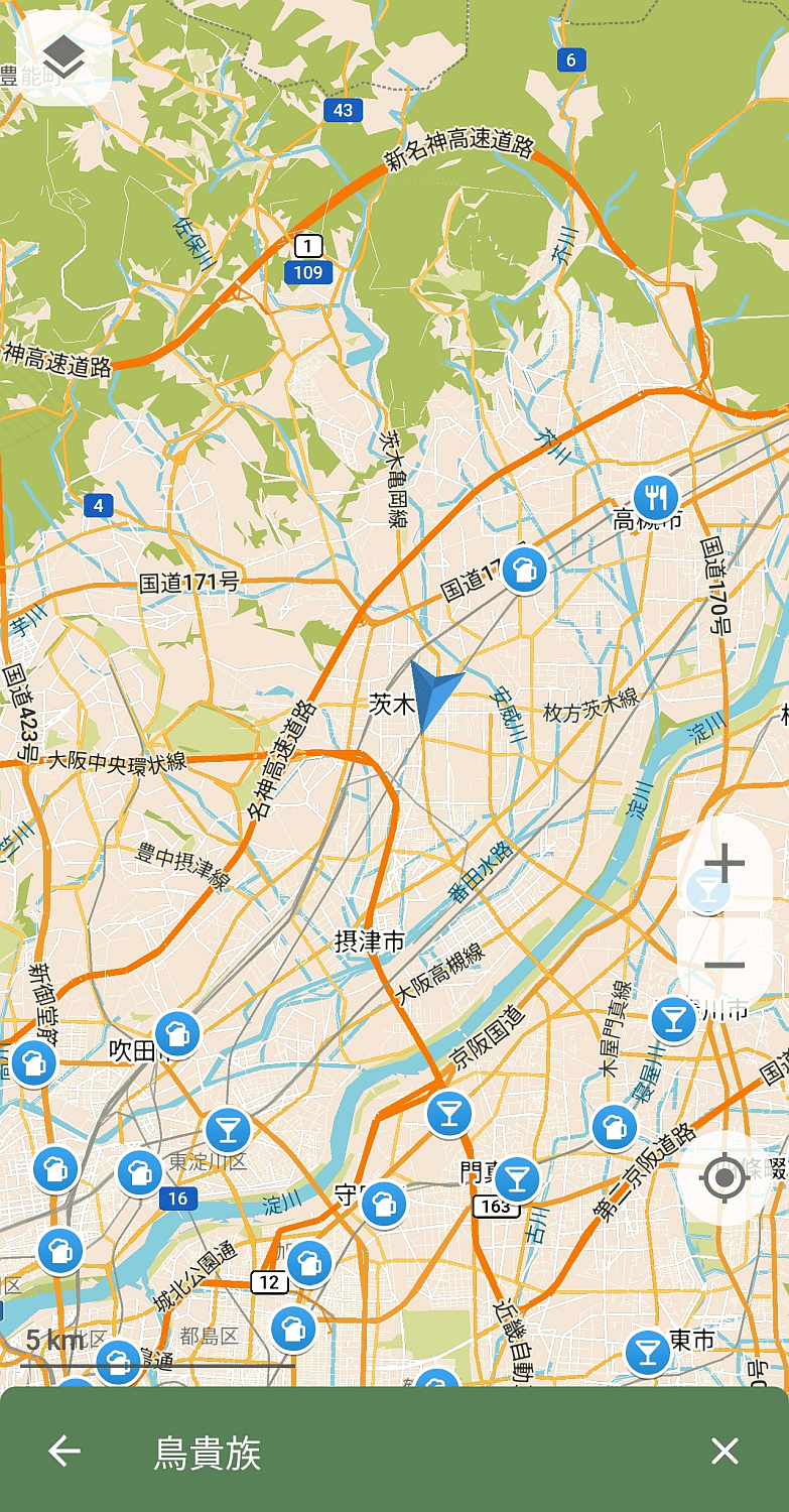
This shows all the hit items displayed on the map. I tried searching for a store right in front of me, but it wasn't registered on OpenStreetMap, so only stores far away were displayed.
Selecting the 'Categories' tab will display a list of categories.
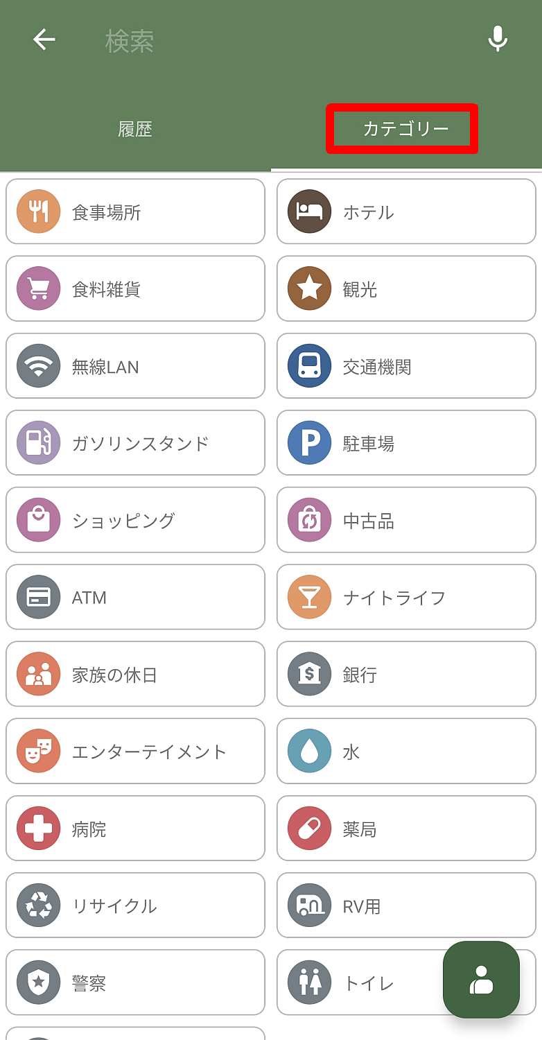
When you select a category from the list, the items that match the category name will be displayed in a list.
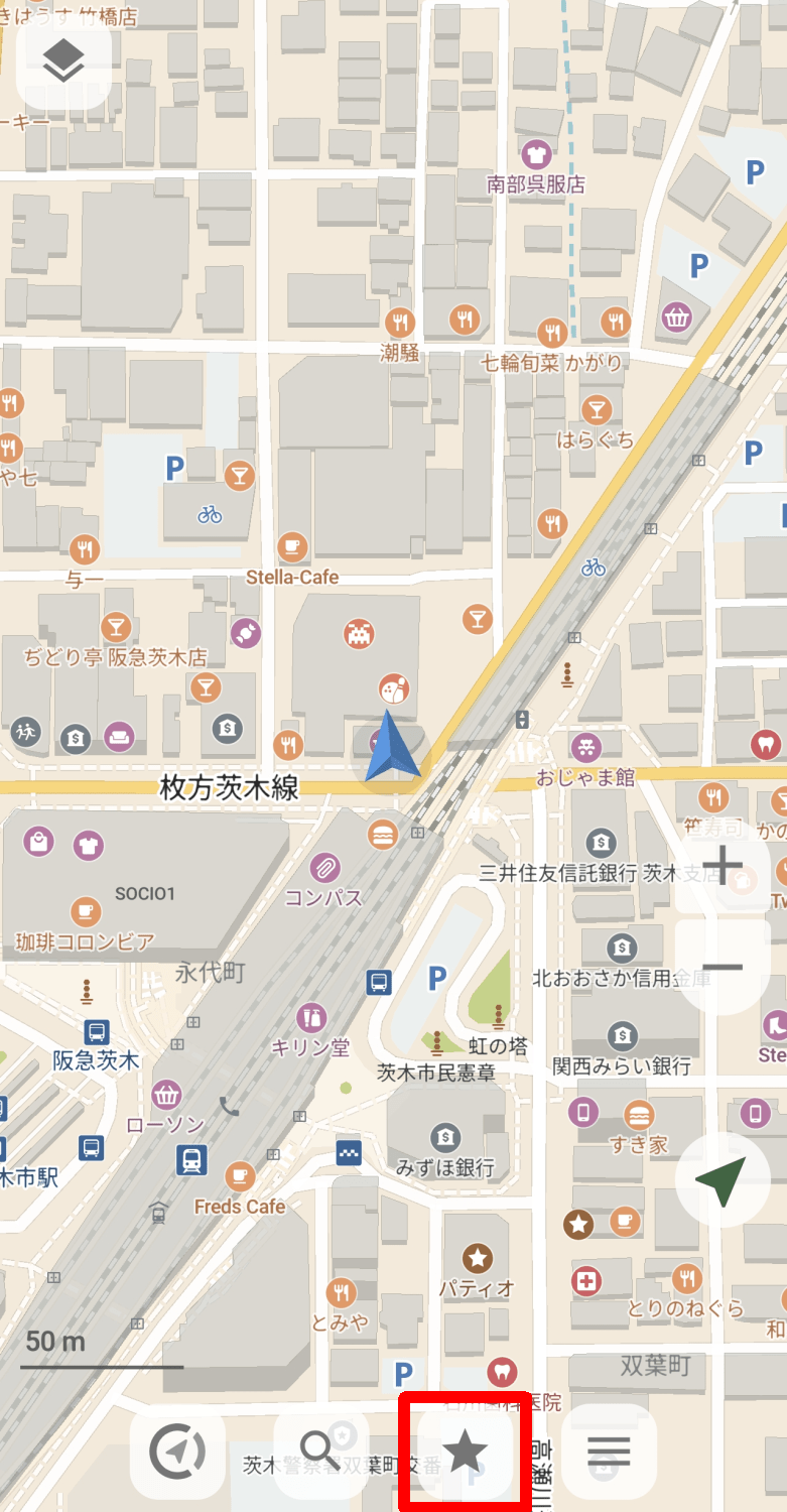
Tapping the third star-shaped icon button from the left will display the 'Favorites' screen.
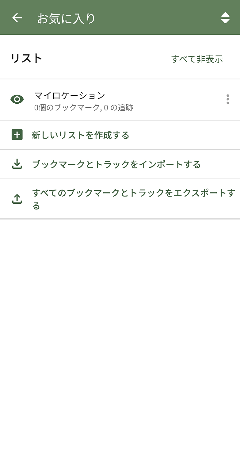
The following items are available on the 'Favorites' screen:
- My Locations: A list provided by default
- Create a new list: Add a list other than 'My Locations'
Import bookmarks and tracks.
Export all bookmarks and tracks.
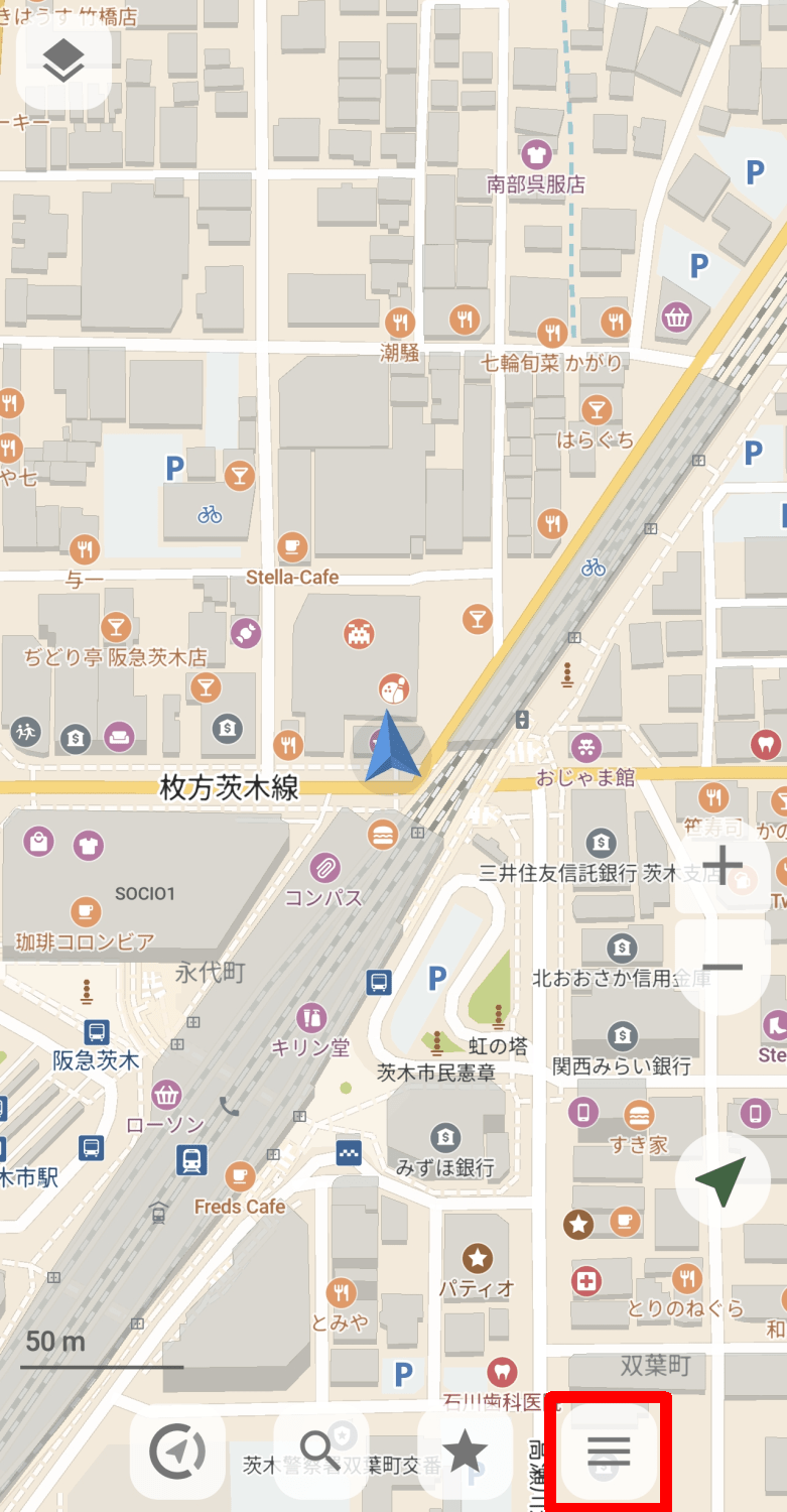
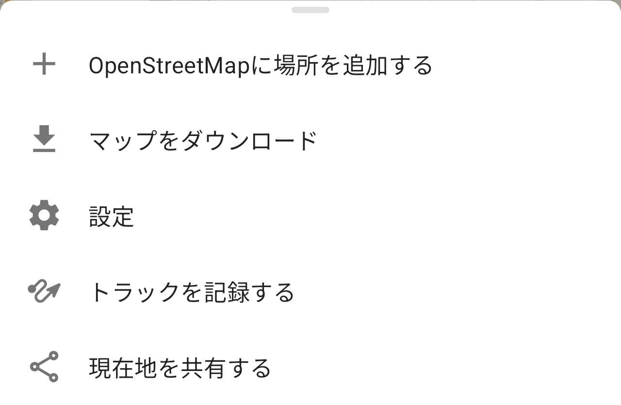
Tapping the hamburger icon button on the far right will display a pop-up menu.
The pop-up menu includes the following items:
- Add a location to OpenStreetMap
Download the map
·setting
- Record the track
・Share your current location
◆Settings
Tapping 'Settings' from the pop-up menu will display the settings screen.
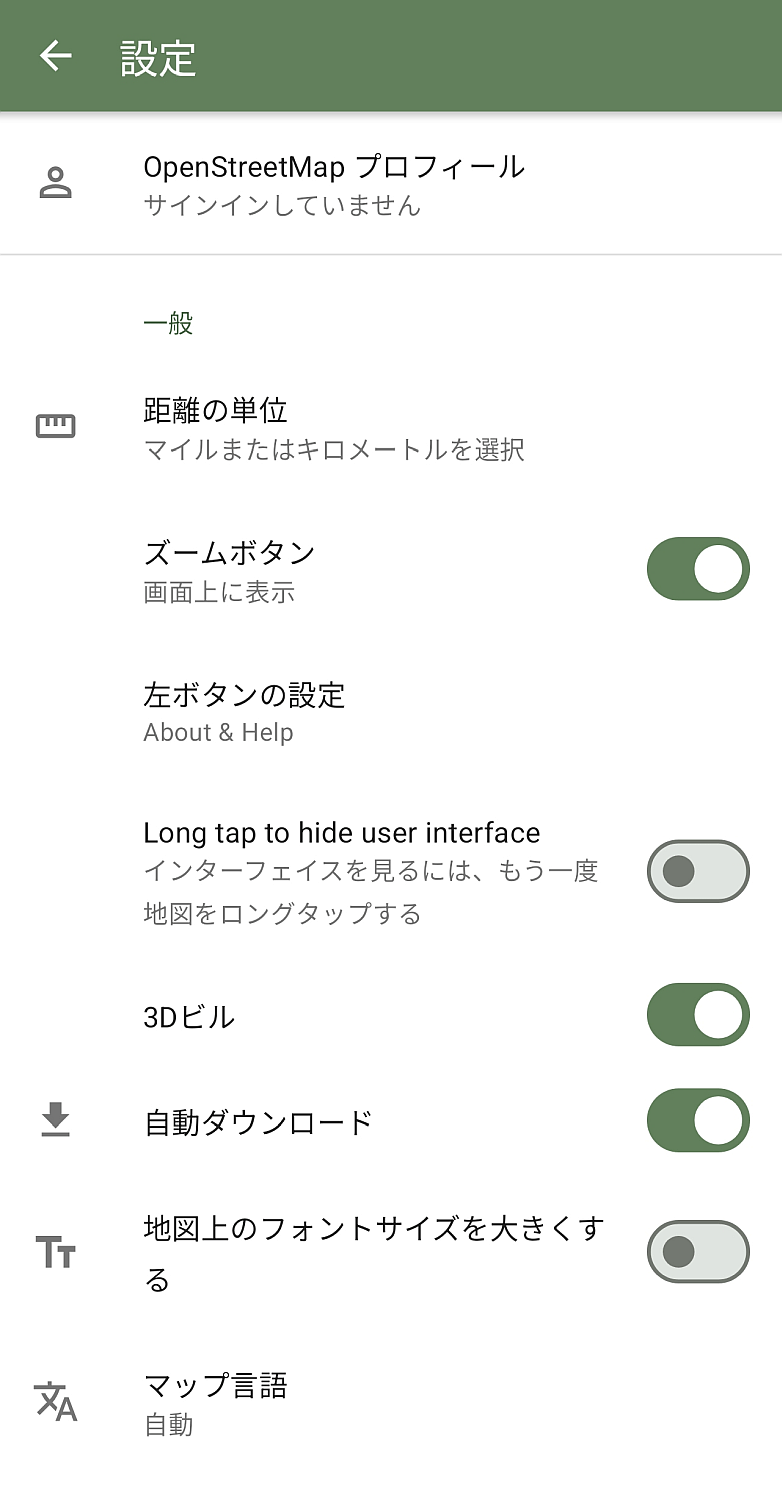
The settings available on the settings screen are as follows:
• OpenStreetMap profile
・General
- Unit of distance: Select miles or kilometers
・Zoom button: Select display and day display.
- Left button settings: Select from 'Day View,' 'About CoMaps,' 'Add Places to OpenStreetMap,' 'Settings,' and 'Record Tracks.'
- Hide UI with long tap: When enabled, long tap again to show the hidden UI.
3D view of buildings
• Automatic download
- Increase the font size on the map.
Map display language
App display language
- Alternative language for maps: Choose from: 'Do not use,' 'Use according to system order,' or 'Use only if native language is available.'
• Map data download location
Backup destination
Enable logging
• How to open the link: Choose whether to open it in the app or in a browser.
Navigation
• Display of speed limit
- Perspective view
・Automatic zoom
• Voice instructions
Route options
- Using Android Auto
Power management
Night mode
Mobile communication
• Power saving mode
- Keep the screen on: When enabled, the screen will not turn off while the map is displayed.
- Show on lock screen: When enabled, the app will appear on the lock screen when the device is locked.
·privacy
• Google-integrated location provider: Quickly determines approximate location using Bluetooth, Wi-Fi, and mobile networks.
Search history
- Keyboard Incognito Mode: Enabling this will prevent the system keyboard from recording typing history.
Advanced settings
- Specify a custom map server
◆Adding to OpenStreetMap
I was curious about how to add data from CoMaps to OpenStreetMap, and since the store in front of me wasn't listed on the map earlier, I decided to try it out. As a prerequisite, you need to be logged into or registered with OpenStreetMap via the 'OpenStreetMap Profile' section in the settings. This time, I logged in using the account I created recently .
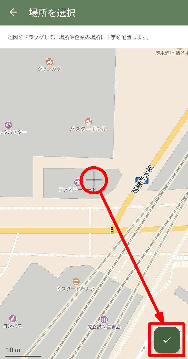
Tap 'Add a location to OpenStreetMap' in the pop-up menu to display the 'Select a location' screen. Adjust the map so that the crosshairs in the center of the screen point to the location you want to add, and then tap the checkmark icon button in the lower right corner of the screen.
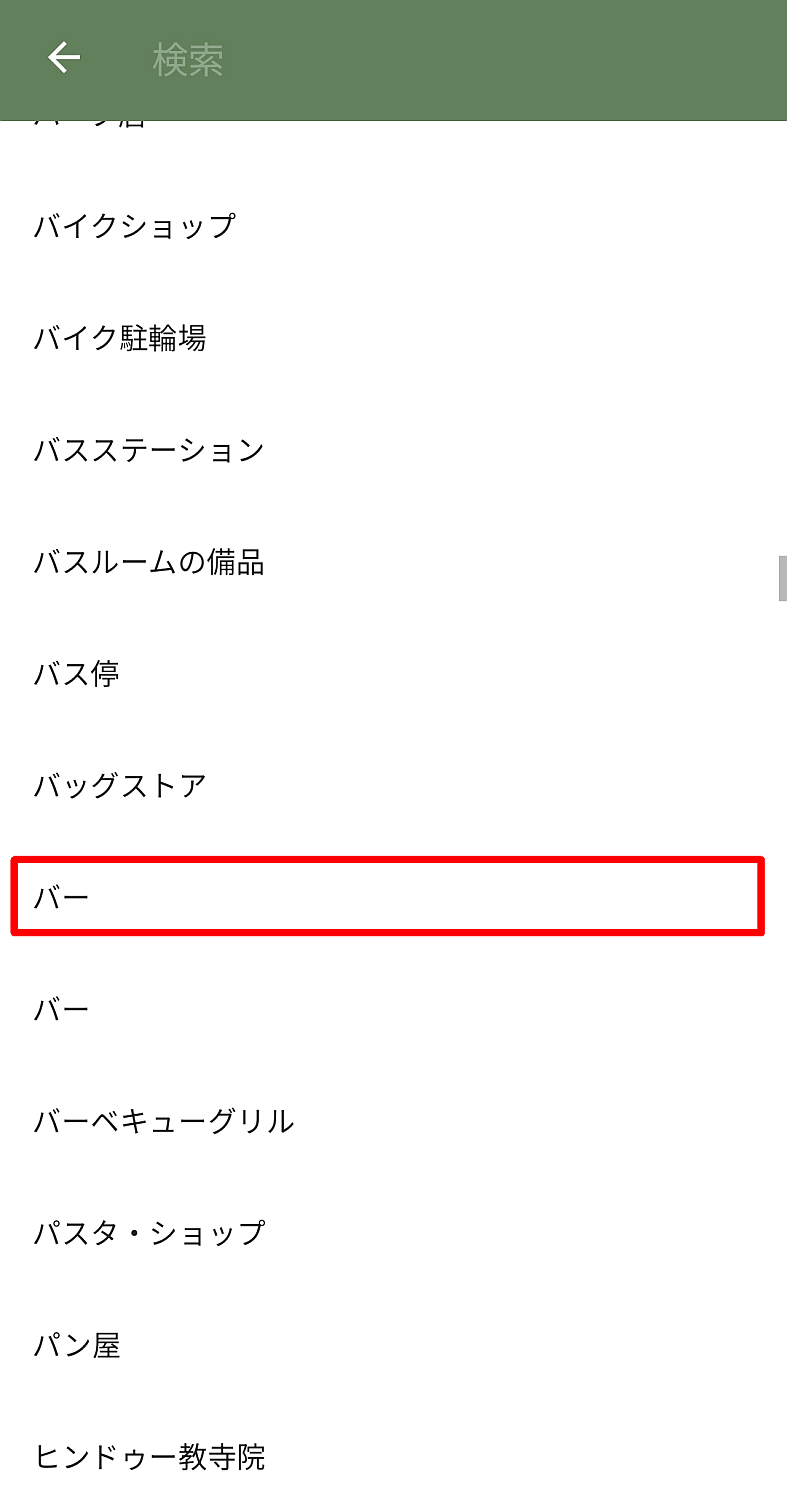
Next, you'll move to a screen where you select the category to add. The number of categories is enormous, and while you might expect to find some that are rarely seen in Japan, it also includes things that are commonplace in Japan. What the heck is a 'poop bag vending machine'...?
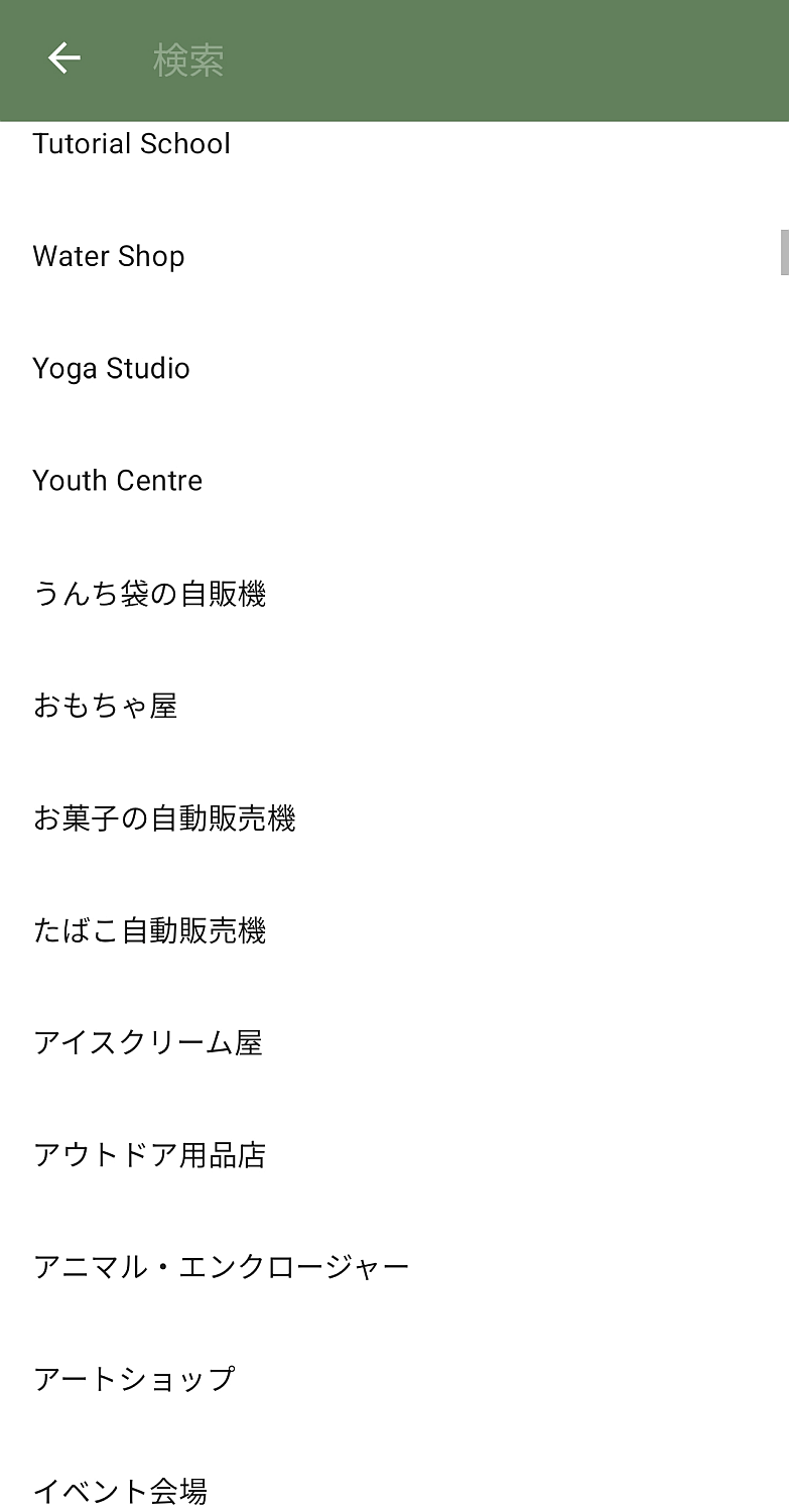
I couldn't find a suitable category, and I remembered that most of the search results were for 'bar,' so I'll select 'bar.' There are two 'bars' that seem to be different things in the original language, but in Japanese they are indistinguishable, so I'll select the one at the top.
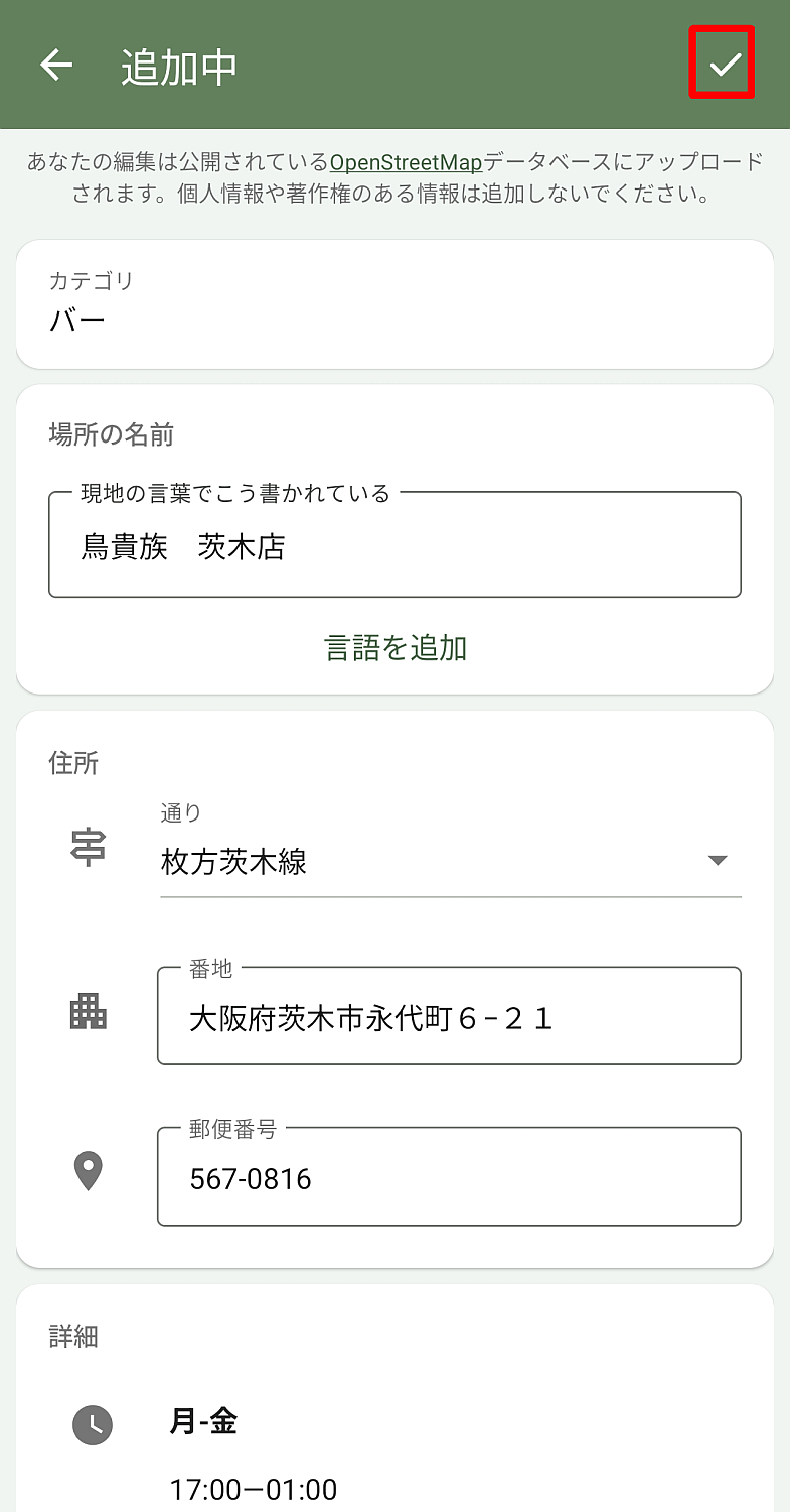
The 'Adding' screen will appear. Enter the information you want to add to the best of your knowledge, and finally tap the checkmark in the upper right corner of the screen.
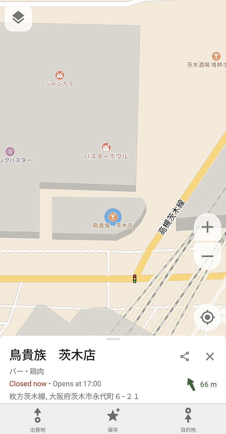
Once the addition is complete, the location of the added item will be displayed on the map.
◆Summary
CoMaps is a free, ad-free map app perfect for everyday use. It works perfectly offline if you download the necessary map data beforehand, making it particularly useful in situations where constant signal coverage is uncertain, such as driving or hiking. If you're considering a map app, definitely add CoMaps to your list of options.
Related Posts:


in Software, Smartphone, Review, Posted by log1c_sh