'Satellite Tracker' is a live map that shows the current locations of over 30,000 satellites, including Starlink.

Numerous artificial satellites have long been launched into orbit around the Earth for weather observation and scientific research, and in recent years, the number of satellites has increased dramatically due to the development of satellite internet, including Starlink. ' Satellite Tracker ' is a live map that allows you to check the current positions of these satellites.
Satellite Tracker — Live Map of Starlink & 30,000+ Satellites
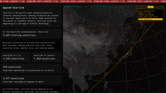
When you access the Satellite Tracker homepage, you'll see colorful dots superimposed on a darkly displayed Earth. Each of these dots represents a satellite, and by default, it appears that satellites belonging to the satellite internet service Starlink are displayed.
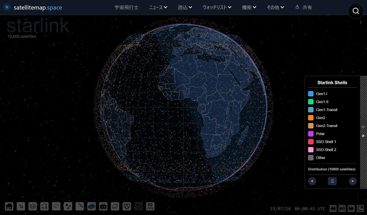
When I hovered my cursor over the dot displayed at the top of the map for Japan, the name (identification code) of the satellite was displayed. This satellite is apparently '31667 v2 mini,' so I tried clicking on the dot.
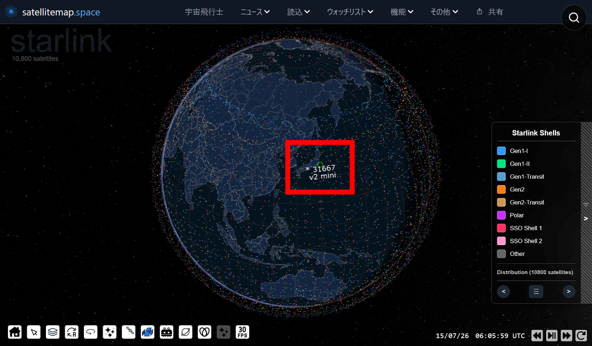
Then, the orbit of the satellite you clicked on was displayed on the map.
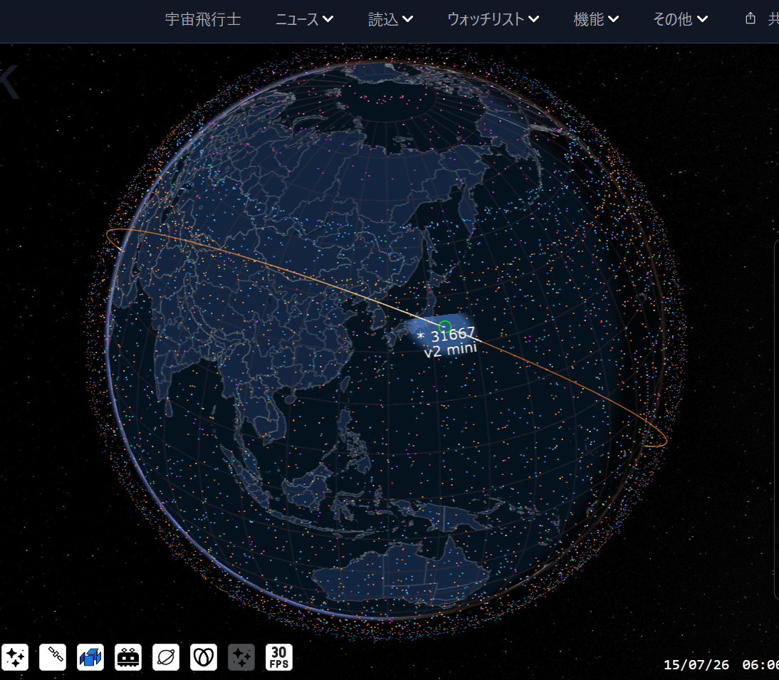
Since the satellite's current position is updated in real time, if you wait for a while, the satellite's position will also shift. Before I knew it, '31667 v2 mini' had shifted from directly above Japan to a southeasterly direction.
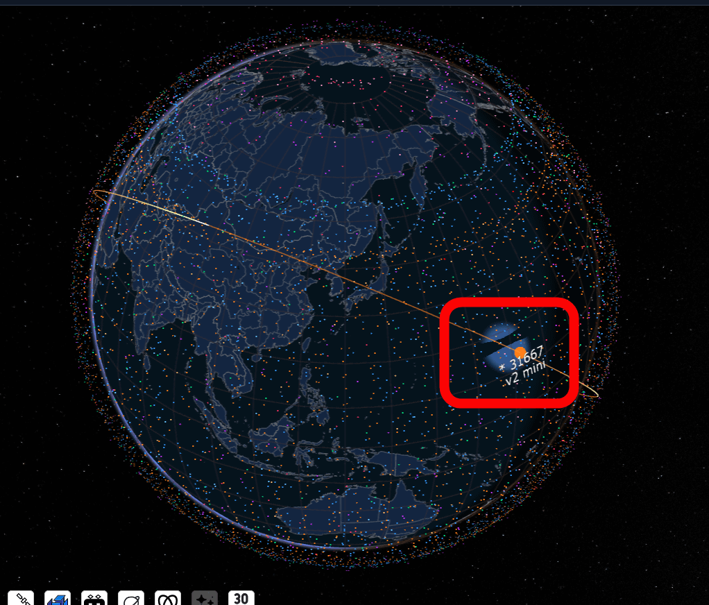
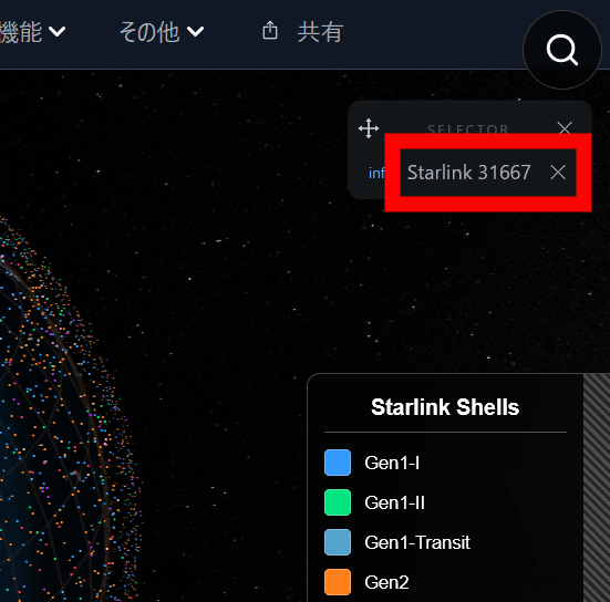
The name of the satellite whose orbit you clicked to display is also shown in the upper right corner. Click on the name.
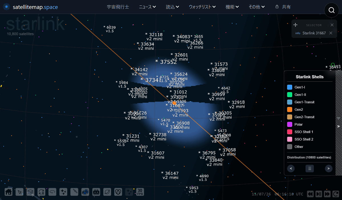
Clicking on a satellite will zoom in, allowing you to see what other satellites are in the surrounding area.
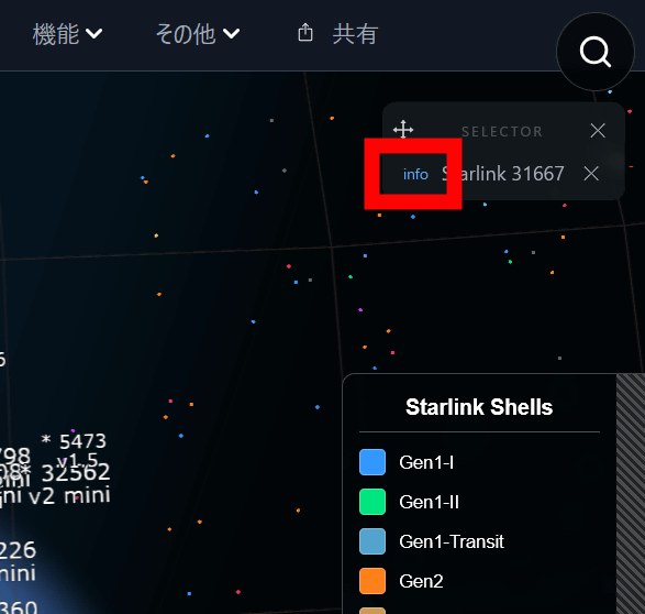
Click on 'info' next to the name.
This allows you to find out
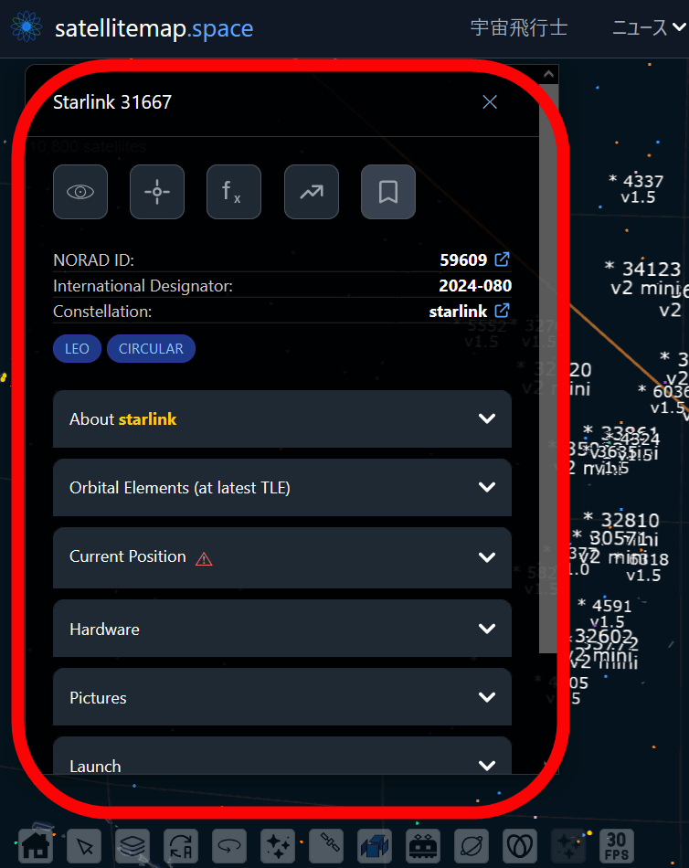
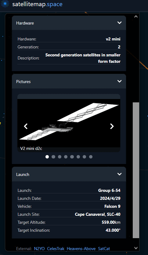
You can also check information such as the satellite's hardware and generation, its external appearance, launch date, and target altitude.
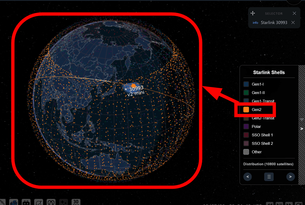
In the case of Starlink satellites, it is also possible to display data by satellite generation.
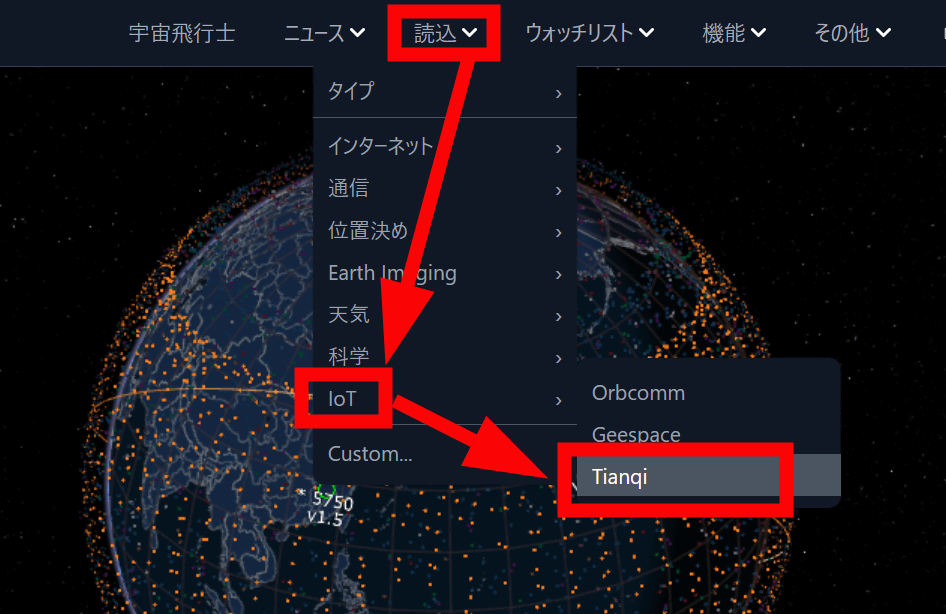
Clicking 'Load' at the top of the screen allows you to filter the displayed satellites by purpose or project. This time, we clicked 'IoT' and selected '
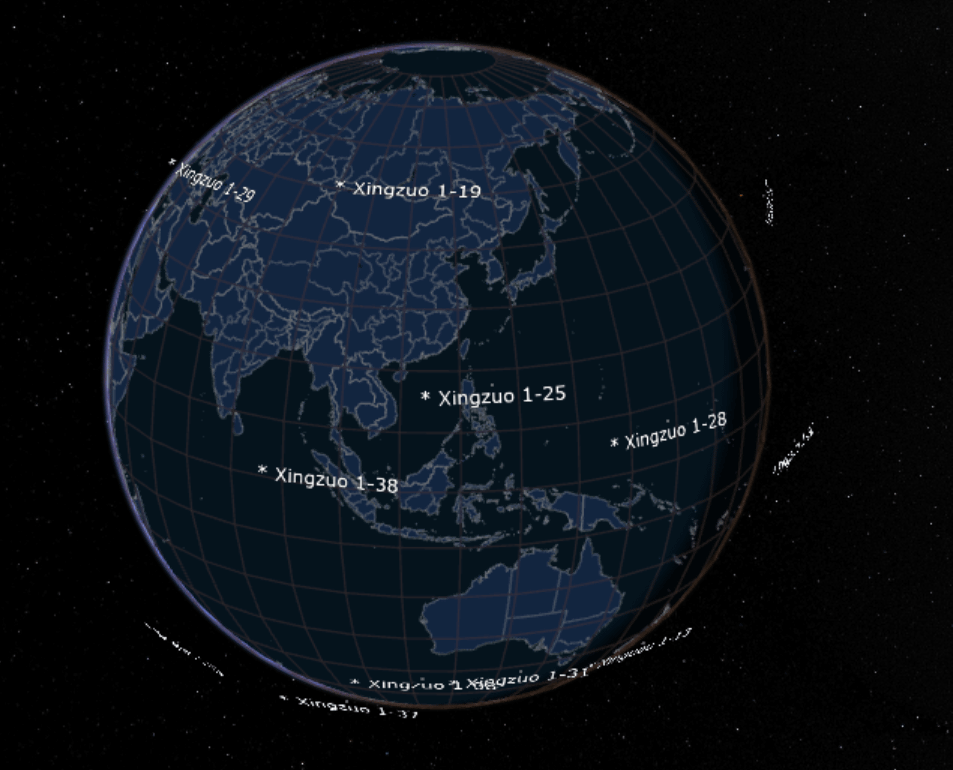
Then, we were able to see a constellation of satellites related to Tianqi.
You can also narrow down your search by the country or research institution that launched the data. Click 'Load' and then 'Custom'.
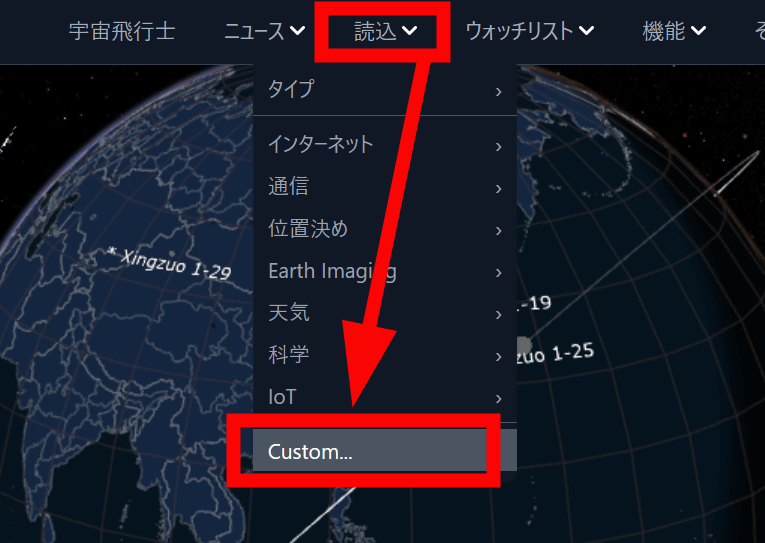
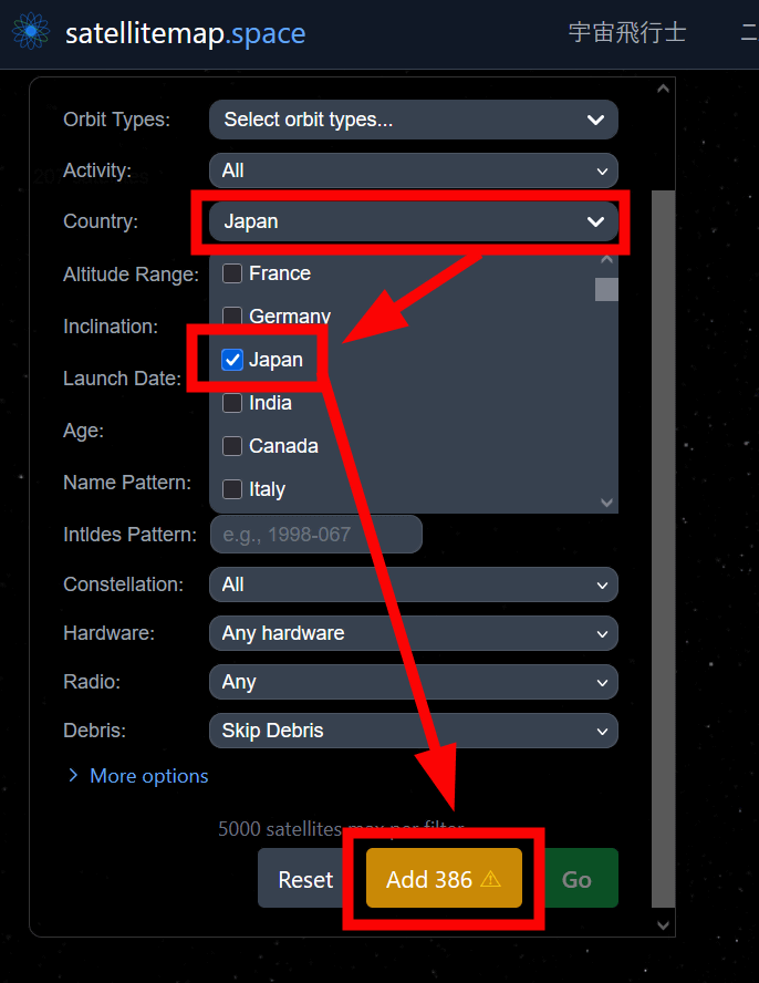
From the Custom screen, you can narrow down the displayed satellites by various criteria such as satellite type, purpose, country, and altitude. This time, select 'Country,' check 'Japan,' and click 'Add' at the bottom.
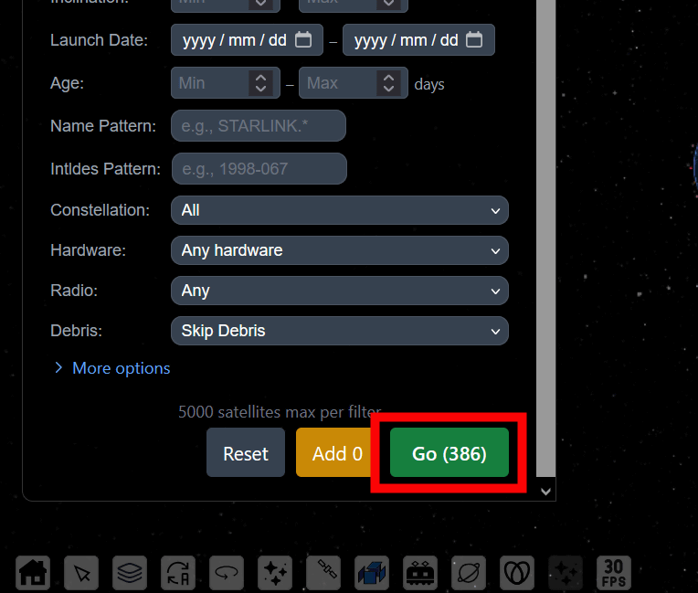
Click 'Go'.
This allows you to see only satellites launched by Japan.
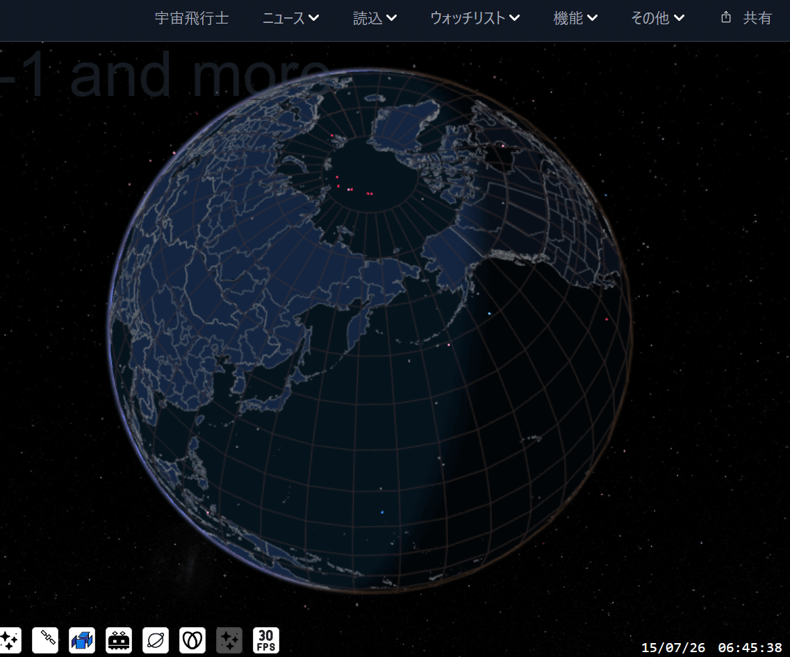
When I tried clicking on it, the name 'Teruteru' was displayed.
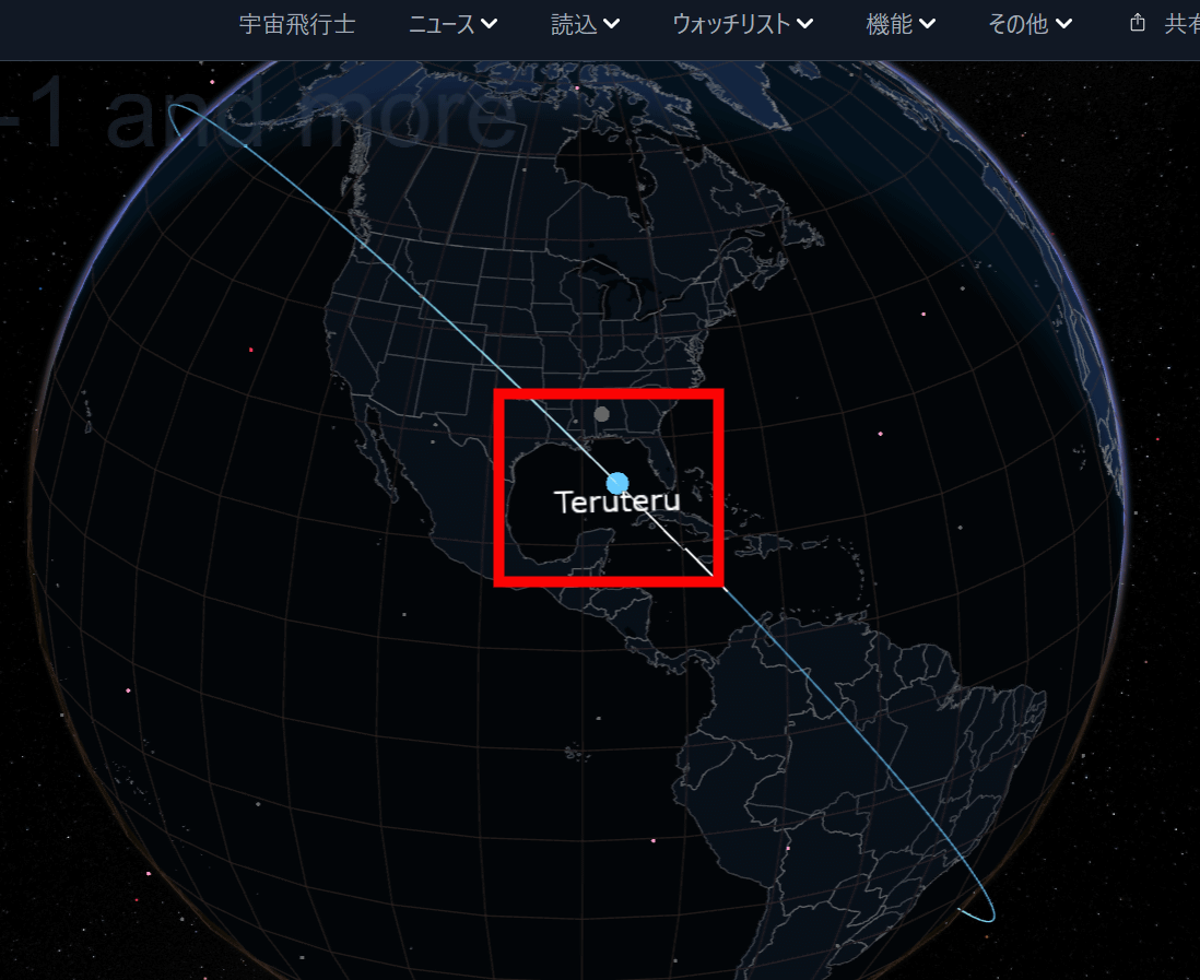
I was curious about what kind of satellite it was, so I clicked on the NORAD ID link.
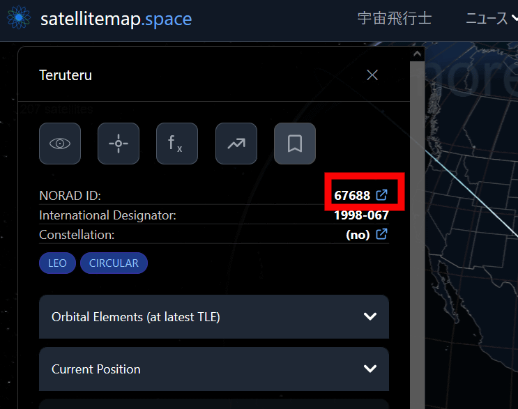
It turns out that the launch date is relatively recent, October 26, 2025, and it is a compact satellite weighing only 1 kg.
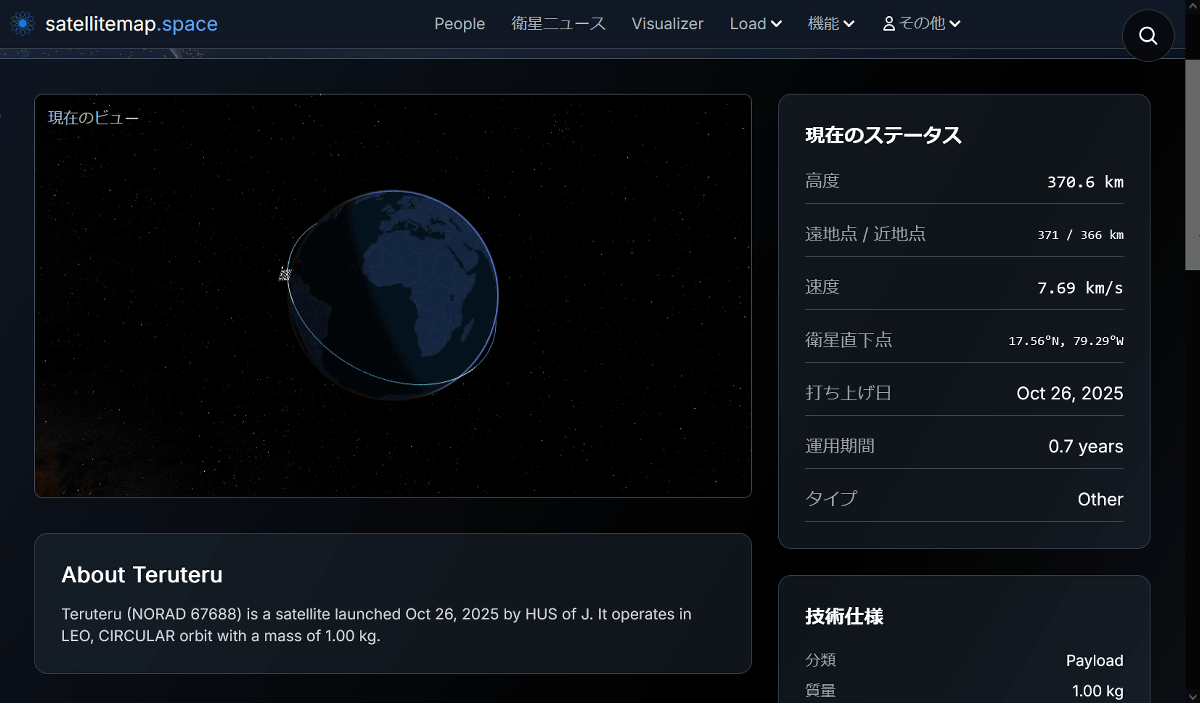
Further investigation revealed that this satellite is 'Teruteru,' a palm-sized, ultra-small satellite jointly developed by Komagane Technical High School, Kobo Okura, and Hokkaido University of Science in Nagano Prefecture. The rocket carrying Teruteru was launched in October 2025, arrived at the International Space Station (ISS), and was released into space from the ISS on February 3, 2026.
Artificial satellite 'Teruteru' | Komagane Technical High School, Nagano Prefecture
https://www.nagano-c.ed.jp/komako/teruteru.html
'Teruteru' has embarked on a journey to space! | Okura Workshop
https://www.koubou-okura.com/press/teruteru-departure/
Related Posts:


in Web Service, Science, Review, Posted by log1h_ik