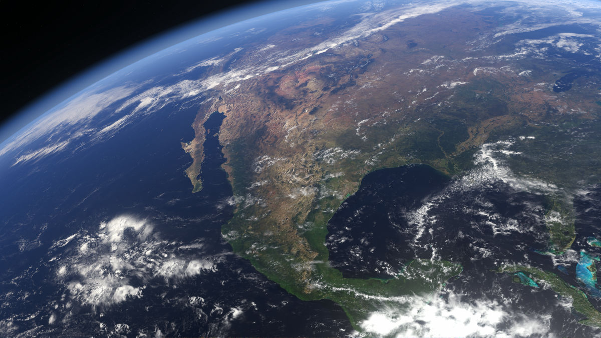
The US government has requested satellite imagery companies to stop selling satellite imagery of Iran and the surrounding Middle East.

Satellite firm Planet Labs to indefinitely withhold Iran war images | Reuters
https://www.reuters.com/business/media-telecom/satellite-firm-planet-labs-indefinitely-withhold-iran-war-images-2026-04-05/
US satellite firm Planet Labs announces blackout on war on Iran images | US-Israel war on Iran News | Al Jazeera
https://www.aljazeera.com/news/2026/4/5/us-satellite-firm-planet-labs-announces-blackout-on-war-on-iran-images
In an email sent to its clients on April 4, 2026, California-based satellite imagery company Planet Labs reported that it would refrain from providing satellite imagery of Iran and the Middle East region at the request of the U.S. government.
According to the email, the U.S. government has requested all satellite imagery providers to refrain indefinitely from providing satellite imagery of conflict zones. Planet Labs has stopped providing satellite imagery taken since March 9, and this measure is expected to continue until the war with Iran ends.
Planet Labs explained that this measure is intended to prevent adversaries of the United States from purchasing satellite imagery and using it to attack the U.S. or its allies. Going forward, they will only distribute satellite imagery deemed not to pose a security risk, and will only release images on a case-by-case basis for urgent, mission-critical requirements or when serving the public interest.
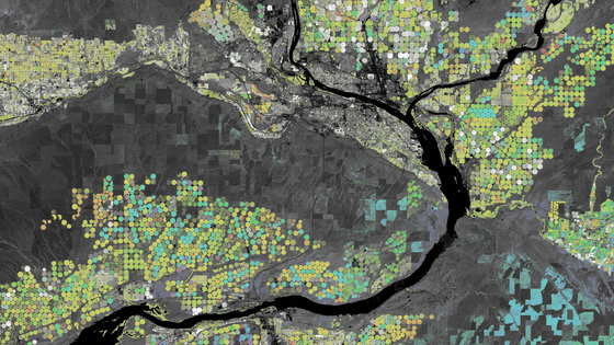
Planet Labs operates numerous Earth observation satellites and sells the latest satellite imagery to governments, corporations, and media outlets. However, satellite imagery can also be used for military purposes such as target identification, weapon guidance, missile tracking, and communications. Some space experts have pointed out that Iran may be accessing commercial satellite imagery for military use.
Planet Labs stated in an email to its customers, 'This is an exceptional situation, and we are making every effort to balance the needs of all stakeholders.' The U.S. Department of Defense did not comment to Reuters.
Another commercial satellite imagery provider, Vantor , told Reuters that it had not been contacted by the U.S. government. A Vantor spokesperson said in a statement that the company has always reserved the 'right to strengthen access controls during geopolitical conflicts,' and at the time of writing, it was applying that right to certain parts of the Middle East and voluntarily refraining from releasing satellite imagery.
According to a Vantor spokesperson, these restrictions include limiting access to new imagery of areas where the United States and its allies are actively conducting operations, or areas actively targeted by adversaries, as well as restricting which customers can purchase existing imagery.
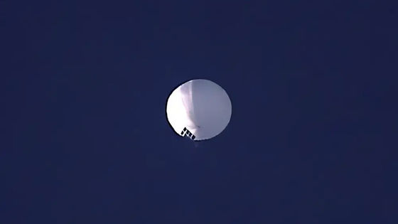
Furthermore, social news site Hacker News has pointed out that some companies, such as the Chinese company MizarVision (觅熵科技有限公司), continue to post information about the movements of the US military in the Middle East on social media.
Not all satellite providers are onboard w/ US Gov's wishes here. MizarVision con... | Hacker News
https://news.ycombinator.com/item?id=47654265
MizarVision Watcher (@MizarVision) | XCancel
https://xcancel.com/MizarVision
Chinese AI Firms Track US Troop Movements in Iran War
https://www.kyivpost.com/post/73270
Related Posts:


in Note, Posted by log1h_ik