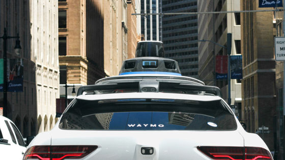
What is this AI system that can find the location of a stolen car using a photo as a clue in just 30 seconds?

Graylark Technologies, a Boston-based company, is developing an AI tool called GeoSpy that can estimate a vehicle's location based on the presence of plants, buildings, and other objects in a photograph. By further refining GeoSpy, it is said to be possible to pinpoint the location of a stolen vehicle in just 30 seconds.
Locating a Photo of a Vehicle In 30 Seconds With GeoSpy - GeoSpy
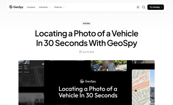
GeoSpy is an AI tool trained on millions of images taken around the world, and has powerful location capabilities, particularly in the US, by identifying geographic markers such as architectural style, soil characteristics, and the spatial relationships of buildings.
GeoSpy, an AI tool that can instantly identify the location where a photo was taken - GIGAZINE
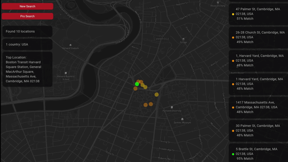
GoeSpy can estimate a location from a single photo with an accuracy of 1 to 25 km, which has brought about a major paradigm shift in how investigators can find clues that lead to criminals from images they find online. However, there have been challenges in determining more accurate coordinates, so there has been a demand for a feature that allows location to be determined to within a few meters.
The development team then incorporated a new AI model called 'SuperBolt' into GeoSpy, enabling meter-level location. GeoSpy achieves location determination through a two-step approach: 'Geoestimation' and 'Geomatching.'
First, geographic estimation is an approach that estimates the corresponding latitude and longitude based on clues such as landmark buildings, vegetation, and scenery. The key to geographic estimation is to minimize the geographic error that occurs, so the first priority is to accurately estimate the city or country where the photo was taken. For this reason, a global dataset of photos taken in various regions around the world is required.
Geographic matching, on the other hand, uses large amounts of densely geotagged image data collected by mapping services to pinpoint more precise coordinates, allowing for meter-level location, but is limited to specific areas such as cities, counties, or states.
The team developed a method to convert terabytes of image data into gigabytes and then very quickly collect and process millions of images to achieve large-scale geographic matching. Using these approaches, GeoSpy first uses a geographic estimation tool to identify the approximate city or region, and then uses a geographic matching tool to pinpoint the exact location.

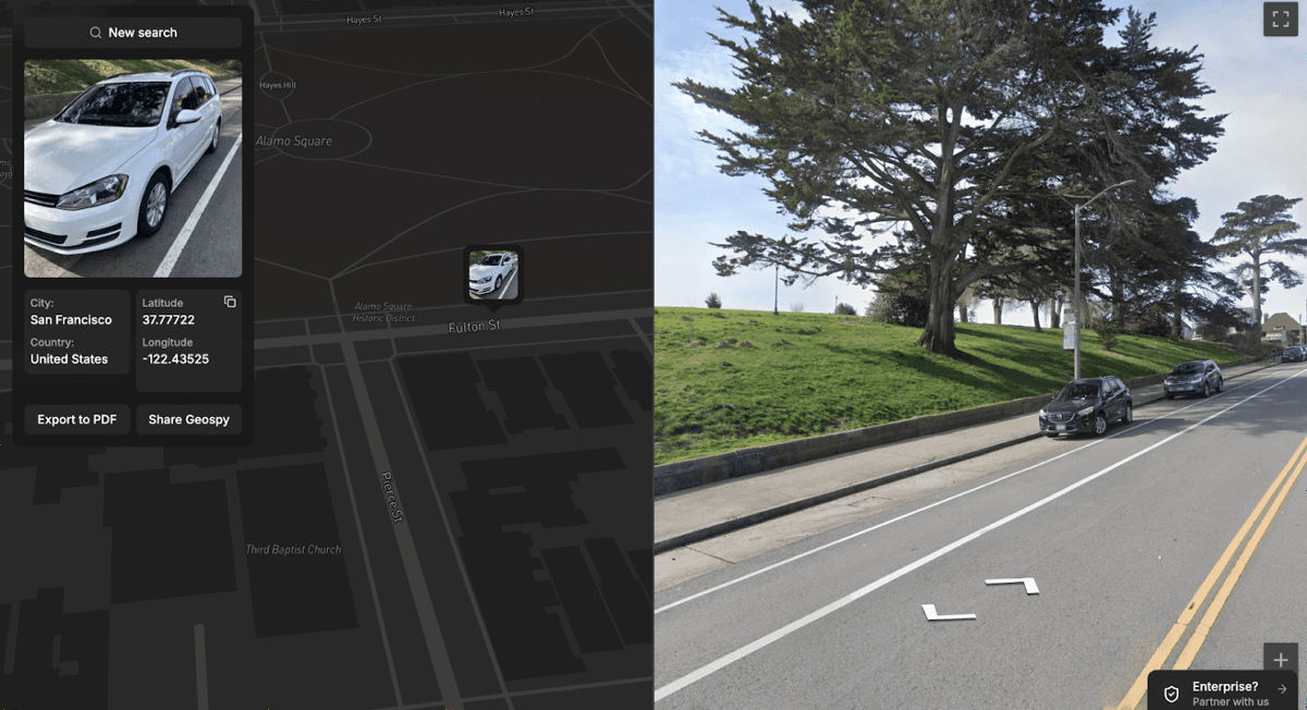
Graylark Technologies claims that GeoSpy is particularly useful for locating stolen vehicles. Car theft gangs often take photos of stolen vehicles and post them on online platforms in order to resell them. By processing these photos quickly and at scale, GeoSpy can pinpoint the locations where they were taken, leading to the arrest of the thieves and the recovery of the vehicle.
In fact, Graylark Technologies used GeoSpy to analyze photos of cars listed for sale on local exchanges and pinpoint the exact location where the photos were taken. 'If this was a stolen vehicle, it would allow law enforcement to quickly locate it and recover it before it was sold to an unsuspecting buyer,' Graylark Technologies said.
Related Posts: