High-resolution images of the Earth taken by radar from the European Space Agency's Earth observation satellite 'Sentinel-1D' are released
ESA - Sentinel-1D delivers first images: from Antarctica to Bremen
https://www.esa.int/Applications/Observing_the_Earth/Copernicus/Sentinel-1/Sentinel-1D_delivers_first_images_from_Antarctica_to_Bremen
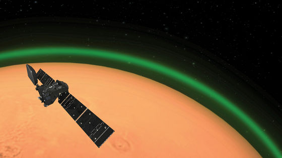
ESA is working on the EU-led Earth observation program ' Copernicus ' in collaboration with EU member states and the European Organization for the Development of Meteorological Satellites. As part of the Copernicus program, Sentinel-1D, a satellite that uses radar to capture high-resolution images of land, ice, and oceans regardless of sunlight, was launched on November 4, 2025.
A video summarizing the events leading up to the launch of Sentinel-1D has been released on YouTube.
Copernicus Sentinel-1D journey to space - YouTube
Sentinel-1D being transported by ship.
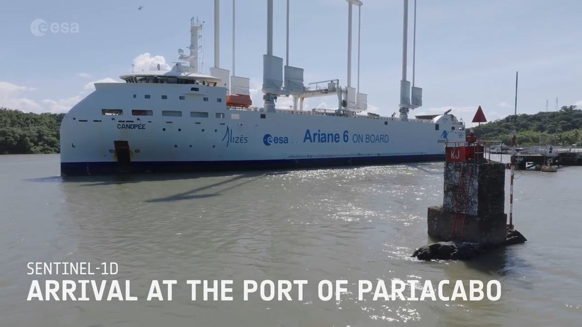
Sentinel-1D will be launched on the EU-operated
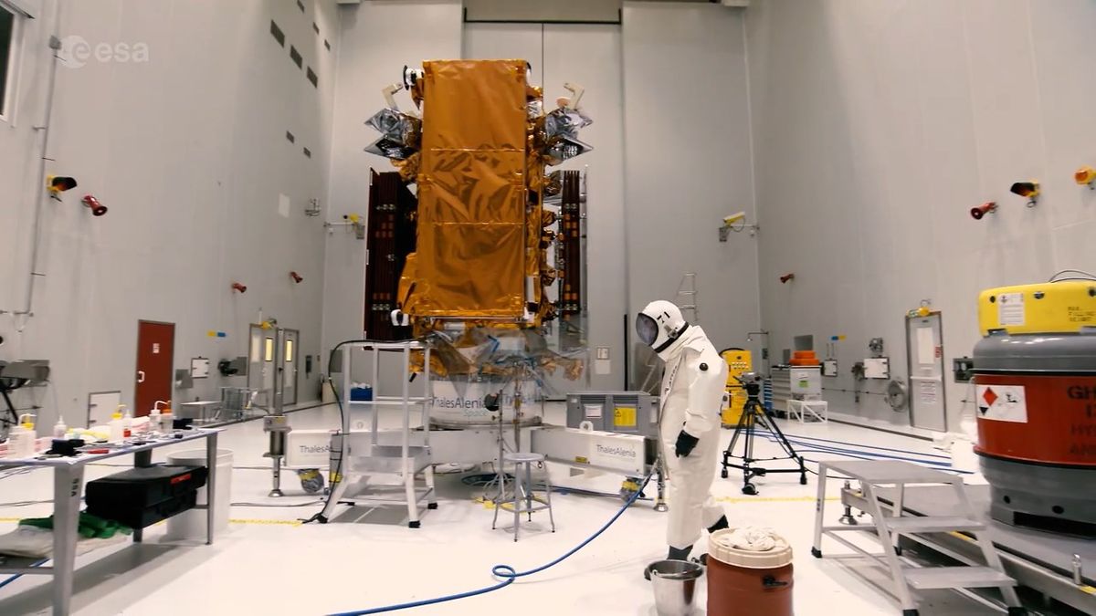
This is the Sentinel-1D itself.
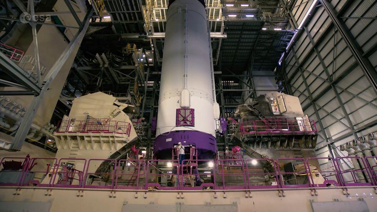
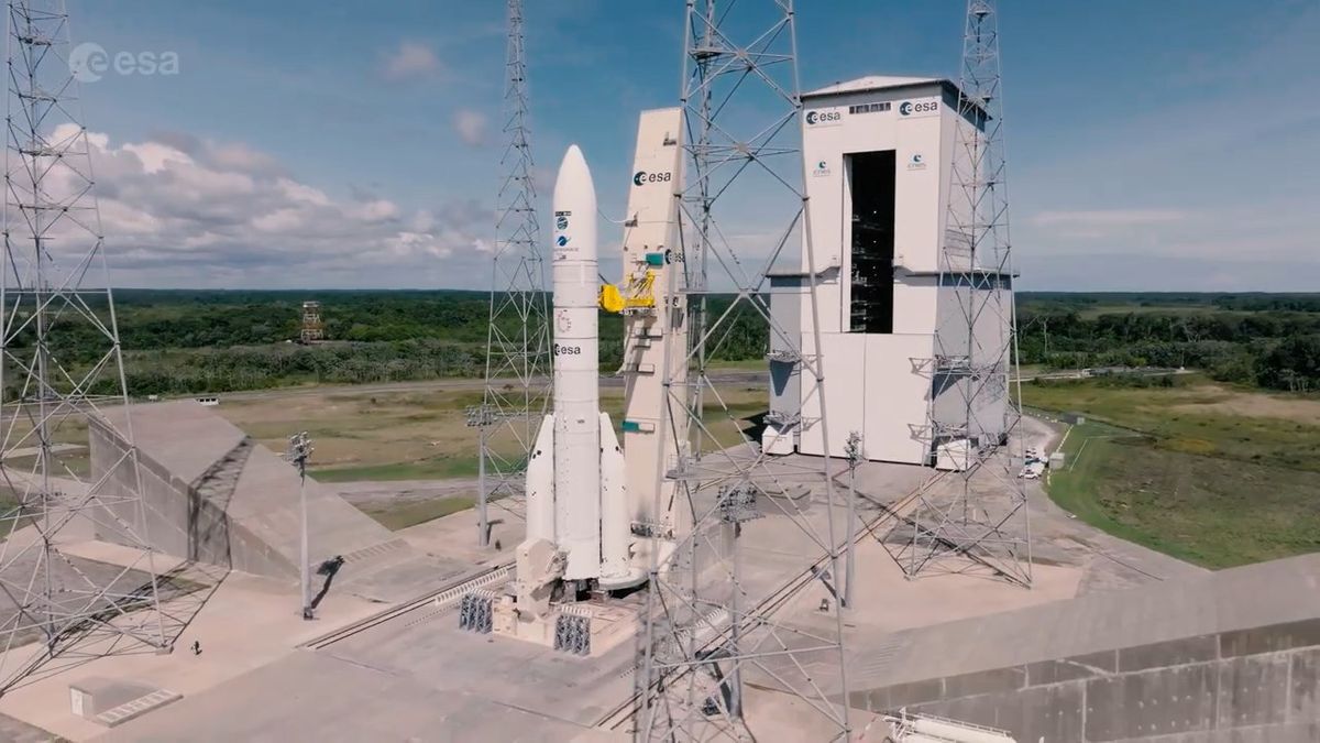
Sentinel-1D was stored at the tip of Ariane 6.
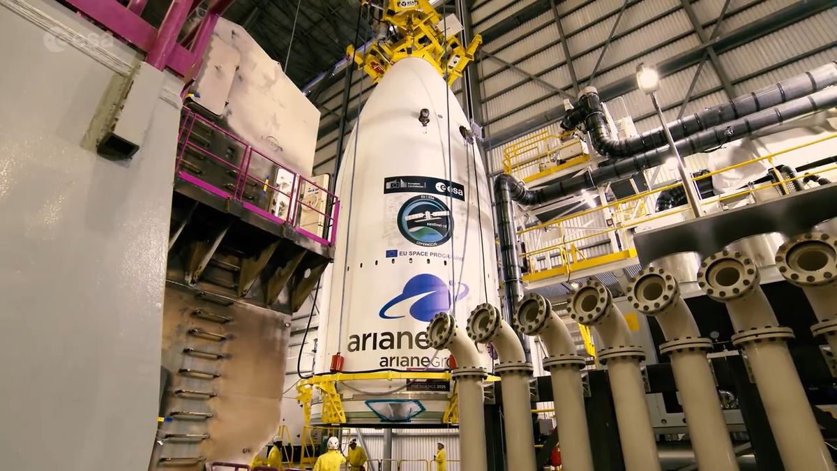
Ariane 6 on the launch pad.
A countdown was held and the gun was fired with great force.
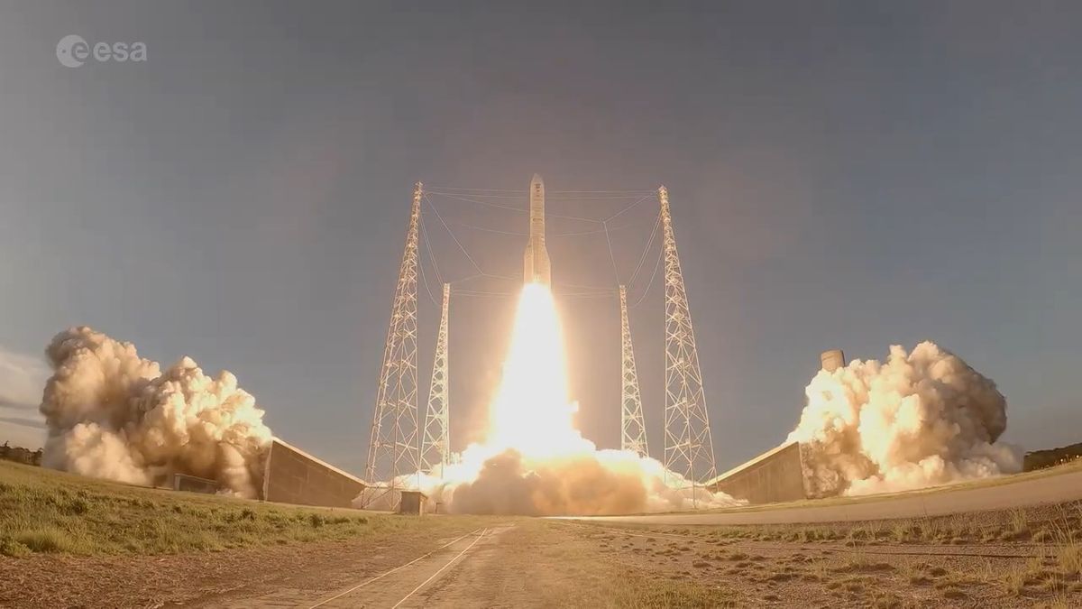
Ariane 6 was launched into space and successfully deployed Sentinel-1D.
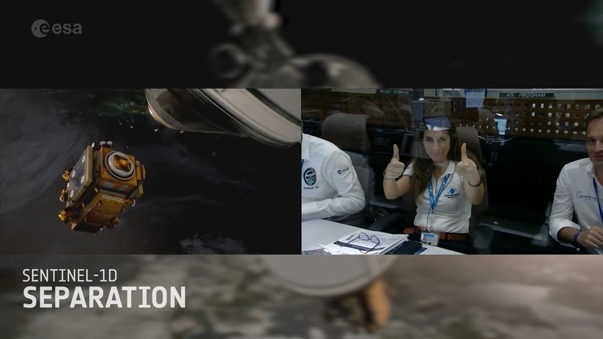
Sentinel-1D took its first images over
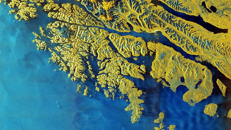
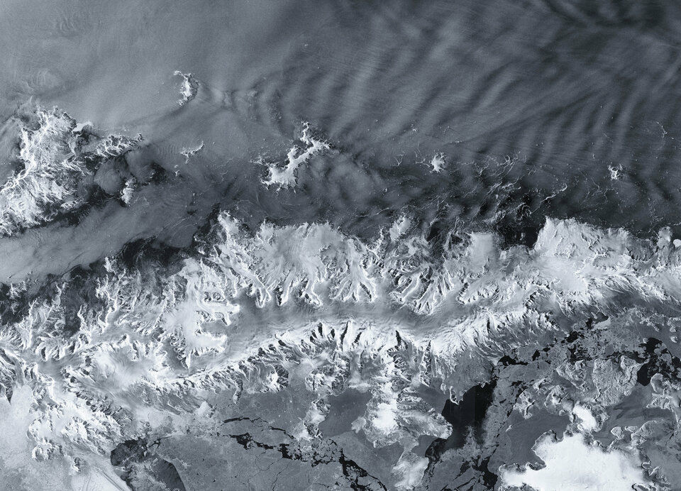
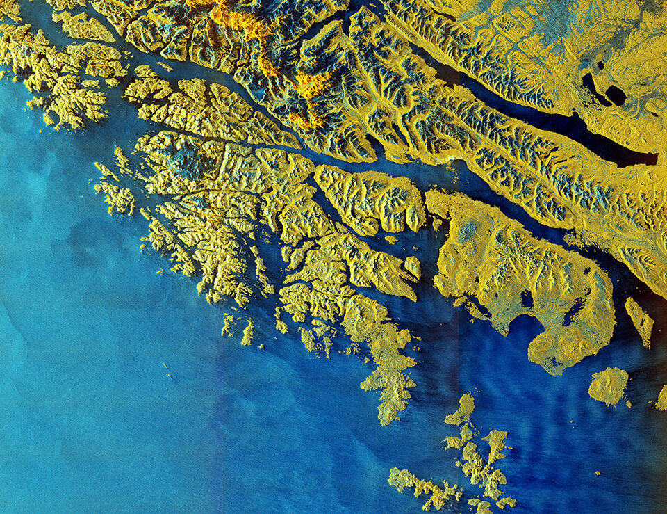
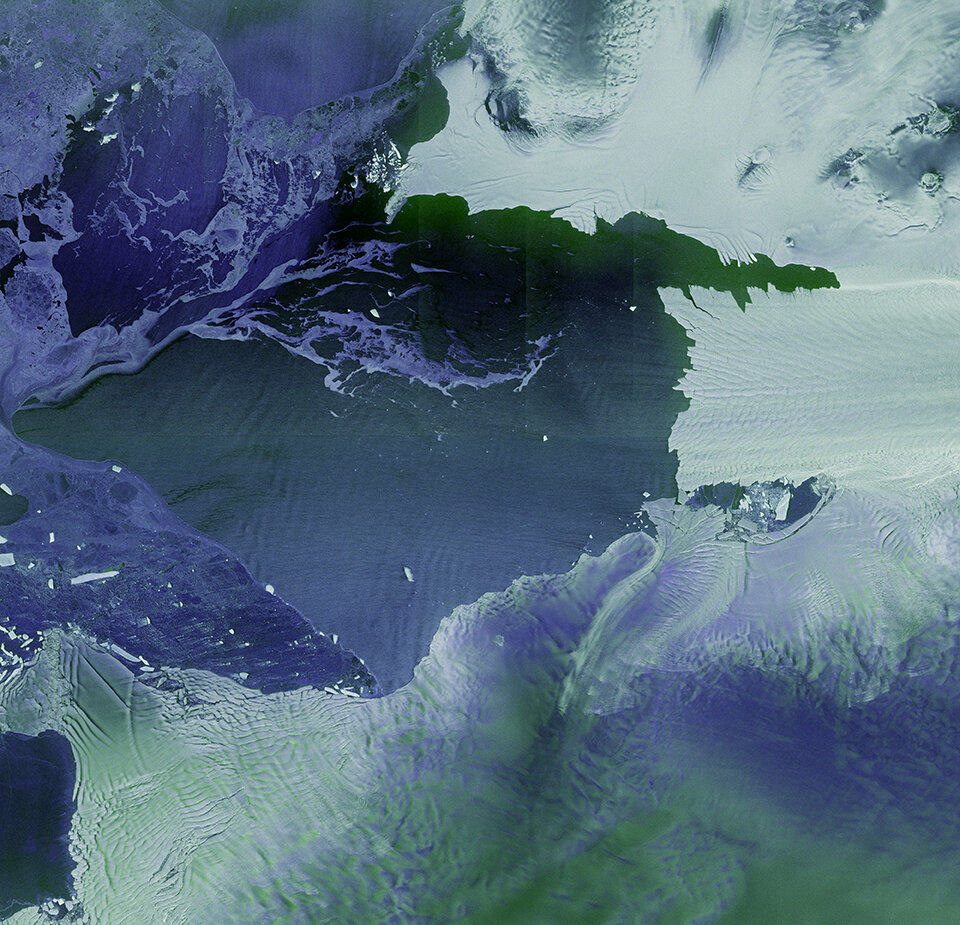
On November 26, the first high-resolution images taken by Sentinel-1D were released by the ESA. Below is an image of the Antarctic Peninsula jutting out into the Southern Ocean.
This image of
'We are very pleased with these results from Sentinel-1D,' said Simonetta Celi, Director of
High-resolution images of Earth taken by Sentinel-1D will be available in the future at the following website:
Copernicus Browser
https://browser.dataspace.copernicus.eu/
Related Posts: