``The Global CTX Mosaic of Mars'' that allows you to see Mars on a 3D map like Google Earth is on sale
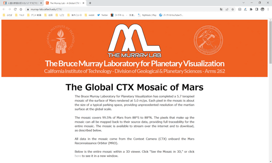
The Murray Lab - A Global CTX Mosaic of Mars
https://murray-lab.caltech.edu/CTX/
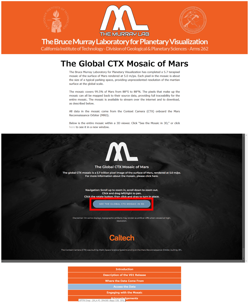
Access the above site and click 'SEE THE GLOBAL CTX MOSAIC OF MARS'.
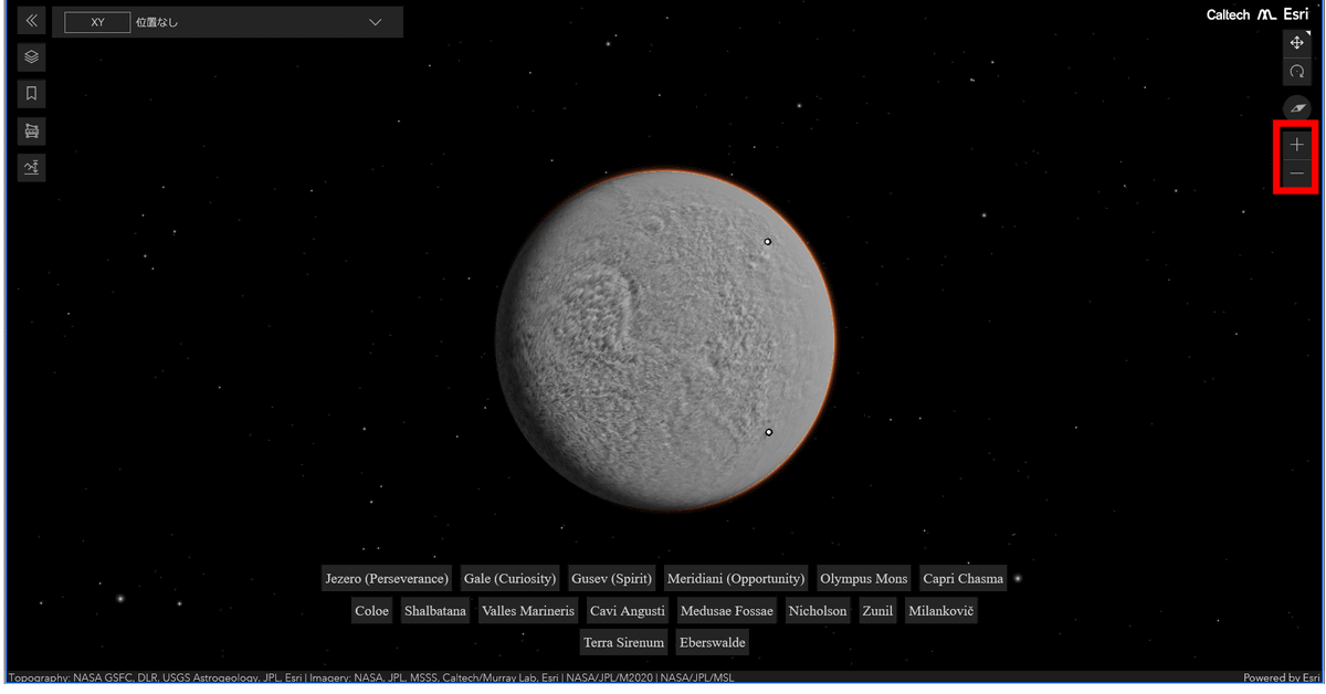
Then, Mars composed of pictures taken by MRO is displayed as follows. You can move on the map by dragging.
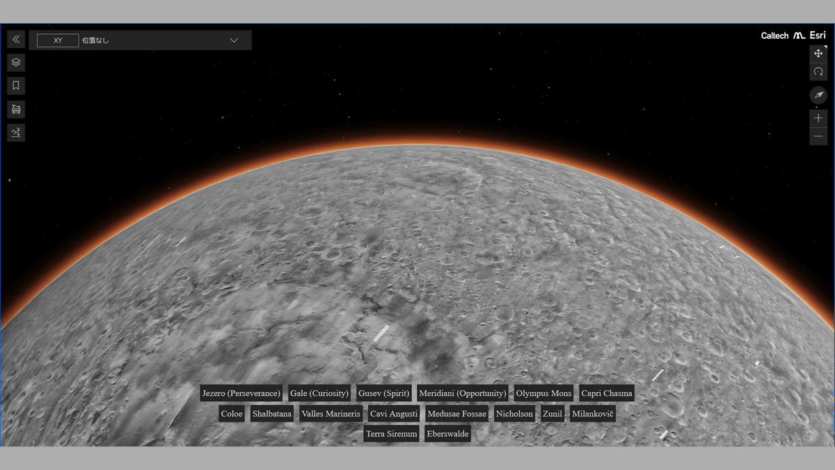
You can zoom in and out with '+/-' on the right. Below is a zoom out until the whole Mars is reflected.
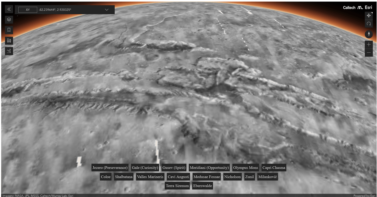
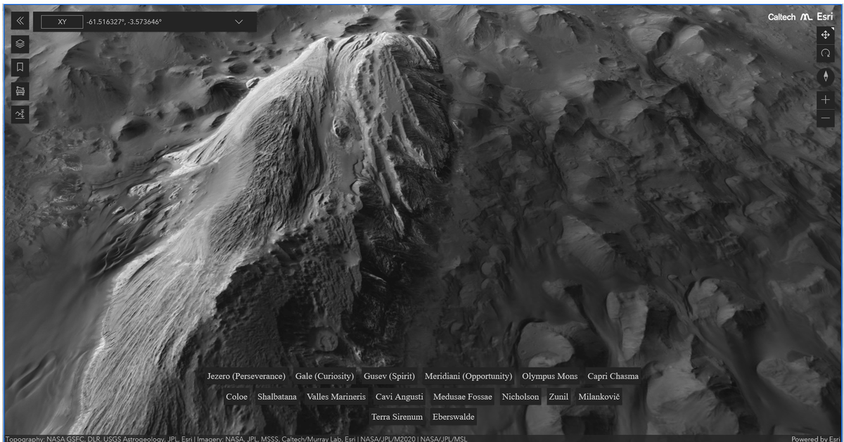
And below is the zoomed in so that the surface of Mars can be seen clearly. It is photographed with an accuracy of 5.0 meters per pixel and is three-dimensionally configured according to the terrain elevation.
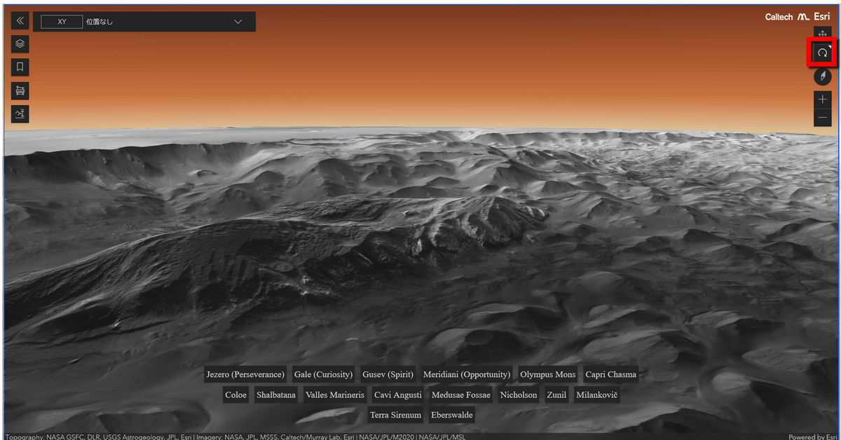
You can change the direction of the camera by clicking the second icon from the top right. If you lower the angle of shooting with the camera, you can clearly see that the terrain on the surface of Mars is uneven.
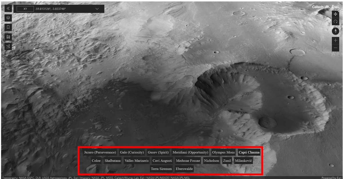
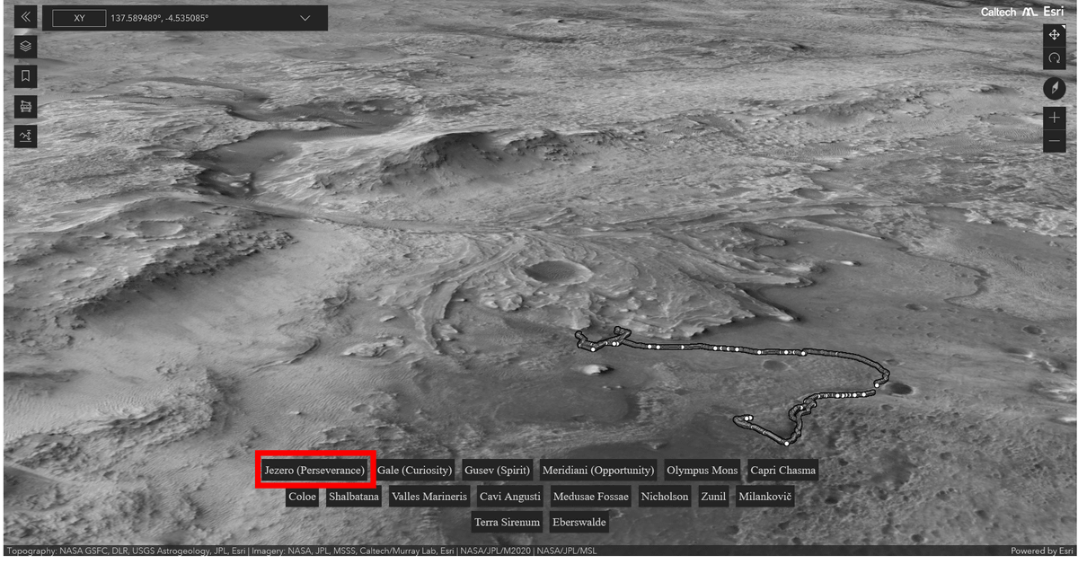
The button displayed below is a button that allows you to jump to famous spots on Mars.
For example, clicking 'Jezero (Perseverance)' displays the Jezero crater where the Mars probe
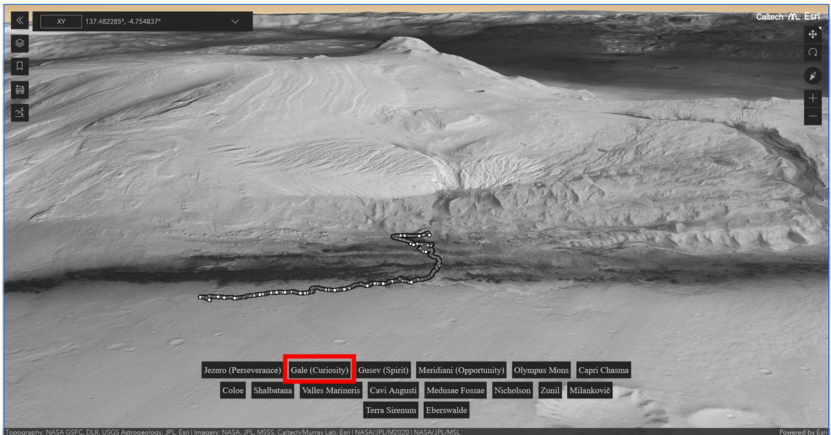
Clicking 'Gale (Curiosity)' displays the Gale Crater, the landing point of the Mars probe
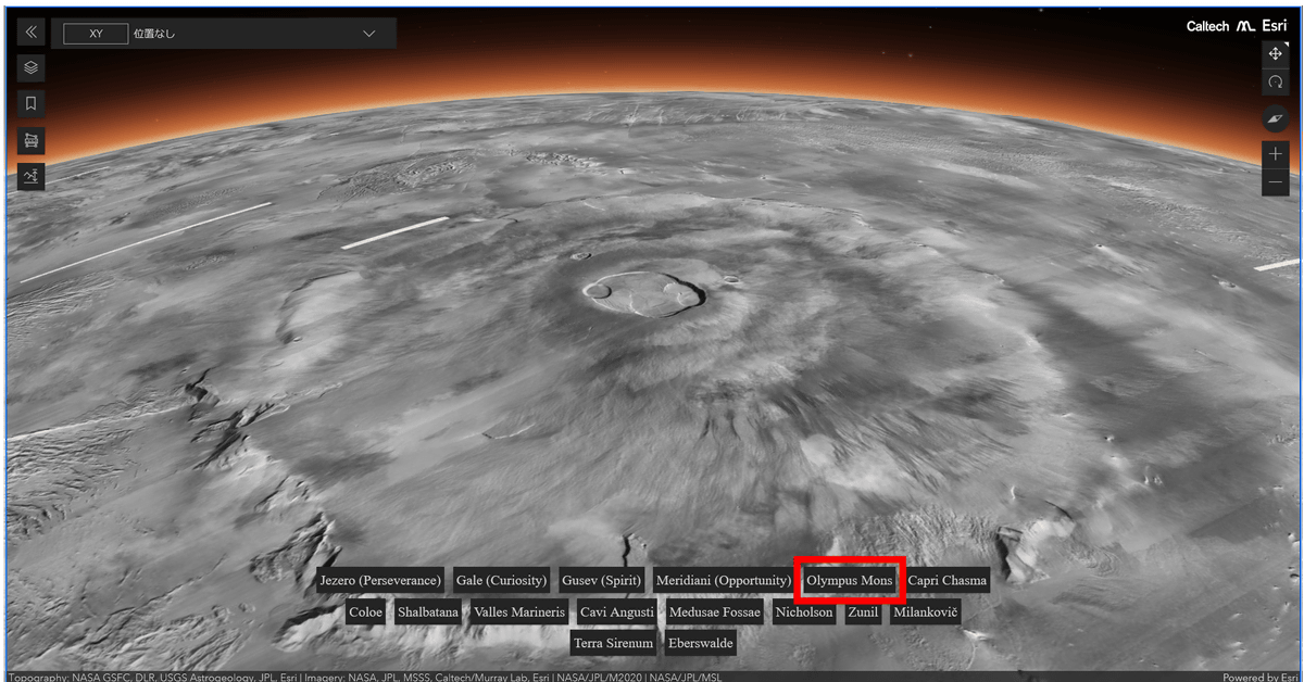
'Olympos Mons' is
Related Posts:

in Science, Review, Web Application, Posted by log1i_yk