I went to the place where the Ejima Ohashi Bridge, also known as 'Beta Fumizaka', looks like a wall.
Eshima Ohashi Bridge became famous when it was featured as ' Beta-Fuming Hill ' in a commercial for the Daihatsu Tanto Custom that began airing at the end of 2013. Thanks to the commercial, the number of visitors has increased, and a temporary parking lot has even been set up at the foot of the bridge on the Matsue side. The Sakaiminato City Tourism Association seems to be putting a lot of effort into tourism, and there is a place that looks like a wall, so I went to see it.
Tottori Travel [Official] Tottori Prefecture Tourism and Travel Information Site
Eshima Ohashi Bridge (Beta Fumizaka) | Shimane Tourism Navi | Shimane Prefecture Official Tourism Information Site
https://www.kankou-shimane.com/destination/20267
The commercial in question has already disappeared from the commercial archive on Daihatsu's website, but someone had uploaded it to YouTube.
Beta Fumizaka Daihatsu CM Tanto Custom Hill Edition 30 seconds - YouTube
The video shows Toyokawa Etsushi, the editor-in-chief of a car magazine, making his editor, Ayano Go, cross the Ejima Bridge in a custom Tanto. The slope is known in the car industry as the 'flat-pedal slope,' and Toyokawa repeatedly asks Ayano, 'Are you flat-pedaling it?', but Ayano, who is driving, calmly denies it.
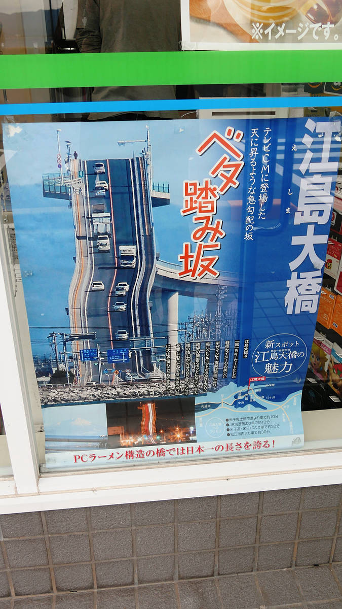
I had been interested in the bridge because of the memorable commercial, even though it's no longer on air, but at the same time, I was more interested in a poster on the tourist association's website.
Eshima Bridge
http://www.sakaiminato.net/site2/page/guide/point/miru/meisho/eshima/
This is it.
It's more like a wall than a bridge. I wanted to see it for myself, so I decided to go and see it.
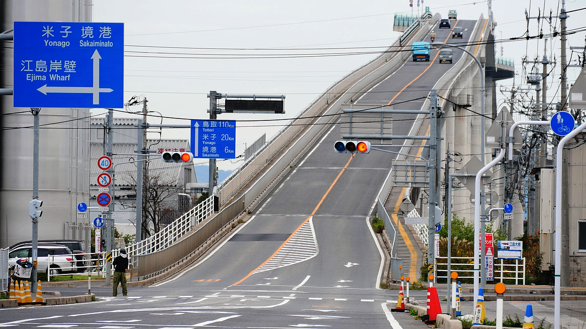
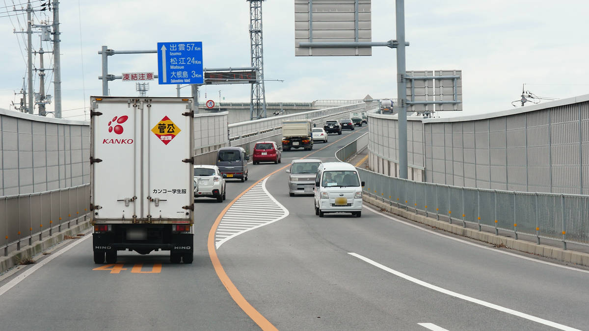
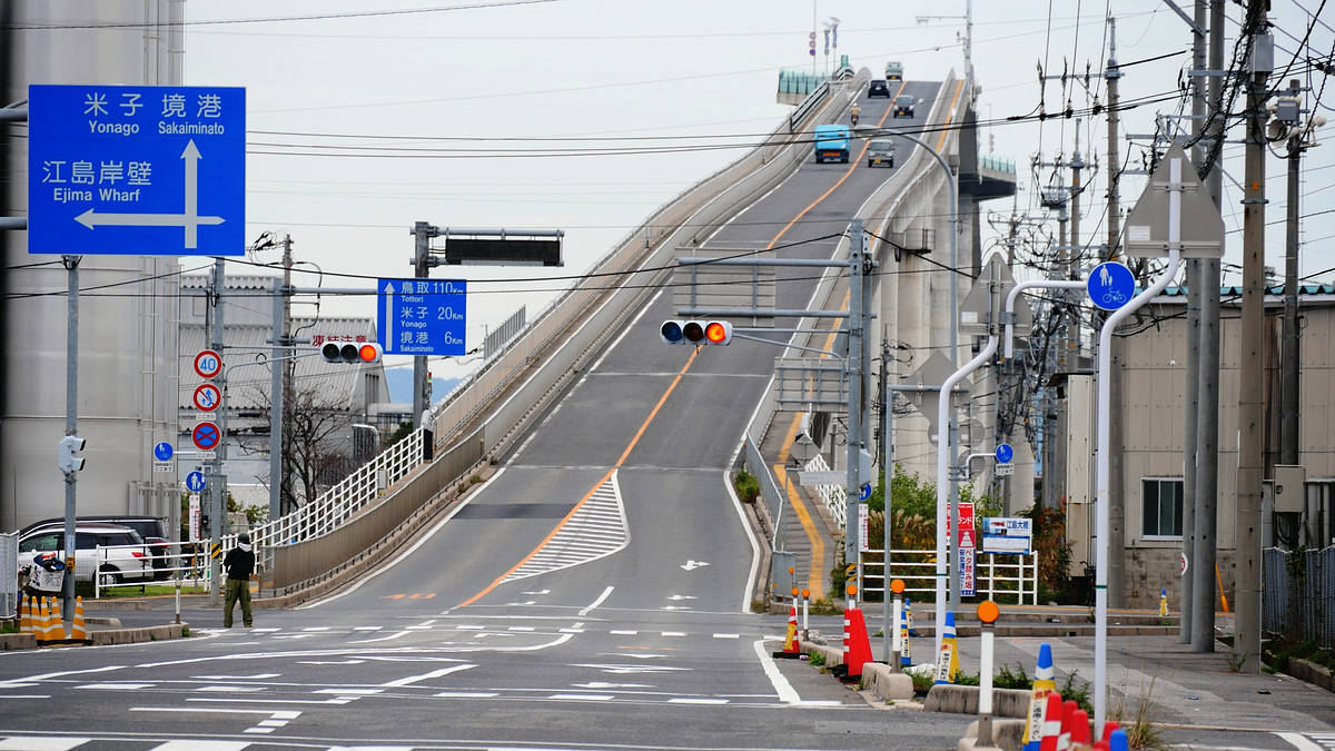
It connects Sakaiminato City, Tottori Prefecture and Enoshima Island, Matsue City, Shimane Prefecture. If you are coming from Yonago, the road sign will point you in the direction of 'Daikonjima Island.'
First, I went to the Sakaiminato side of the bridge to see what it was like.
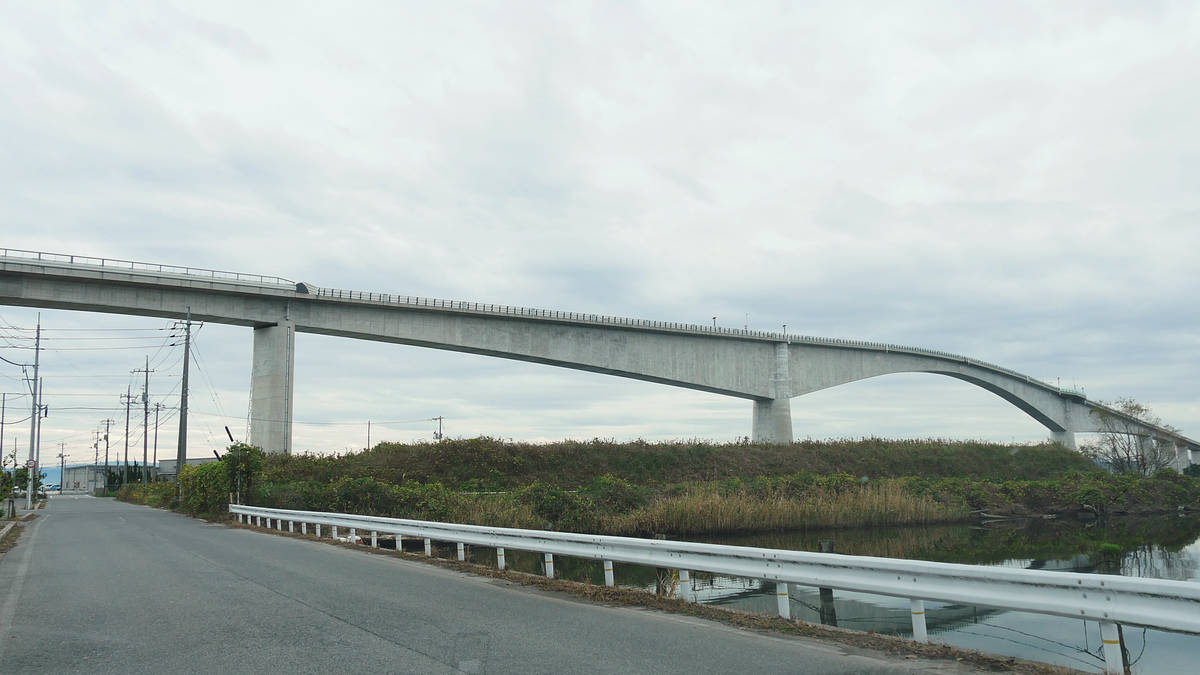
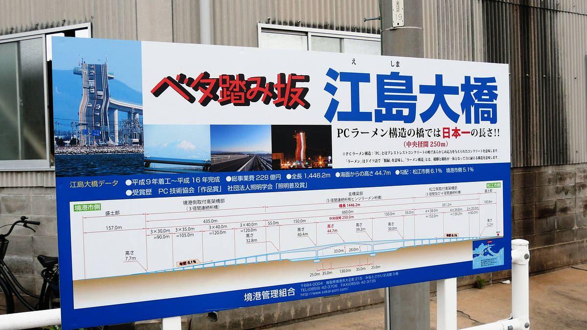
The center section is elevated so that large ships can pass through. Originally, there was the Nakaura Water Gate just to the south, which allowed cars to pass over it, but when a ship was passing through, the drawbridge in the center would be raised and traffic would be blocked for 7 to 8 minutes, causing congestion, and cars weighing over 14 tons were not allowed to pass through, so they had to detour on National Route 431 to the north. To solve this problem, the Ejima Ohashi Bridge was built in 2004.
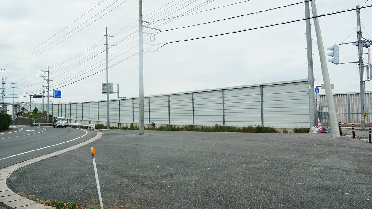
There is a soundproof wall at the entrance.
It curves up towards the top.
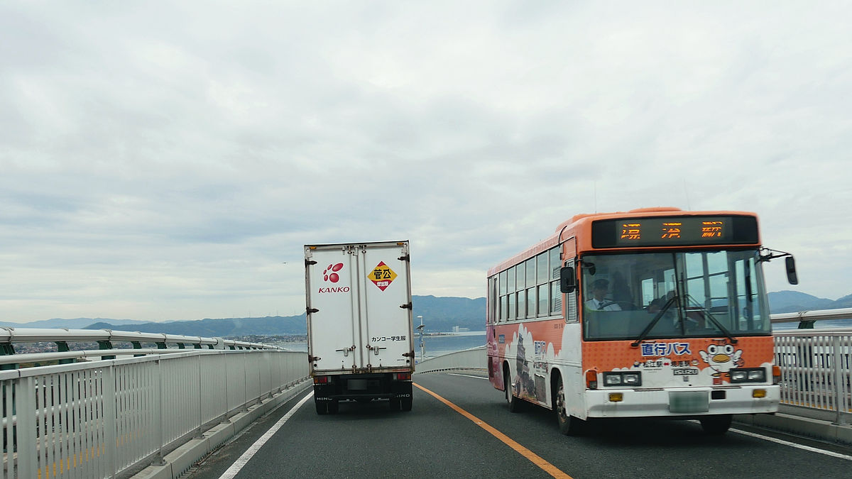
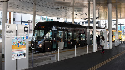
The highest point is 44.7m. I passed a direct bus connecting Matsue Station and Sakaiminato Station on the bridge.
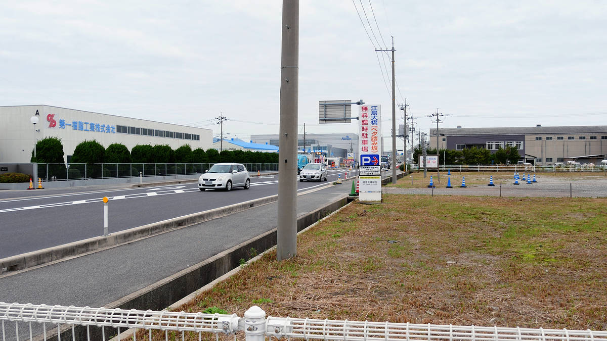
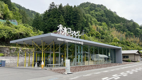
As you cross the bridge from Sakaiminato, you will see a free temporary parking lot on your left. Next to it (in the foreground of the photo) is the FamilyMart Matsue Ejima Ohashi branch.
There were also tourist association posters on display at Family Mart.
When you look at the bridge from the parking lot, you'll be surprised to see that it looks exactly like the steep slope you saw in the commercial.
There is a sidewalk, so you can cross on foot. However, as you can see, it is a slope that you can easily cross without pushing your car all the way down.
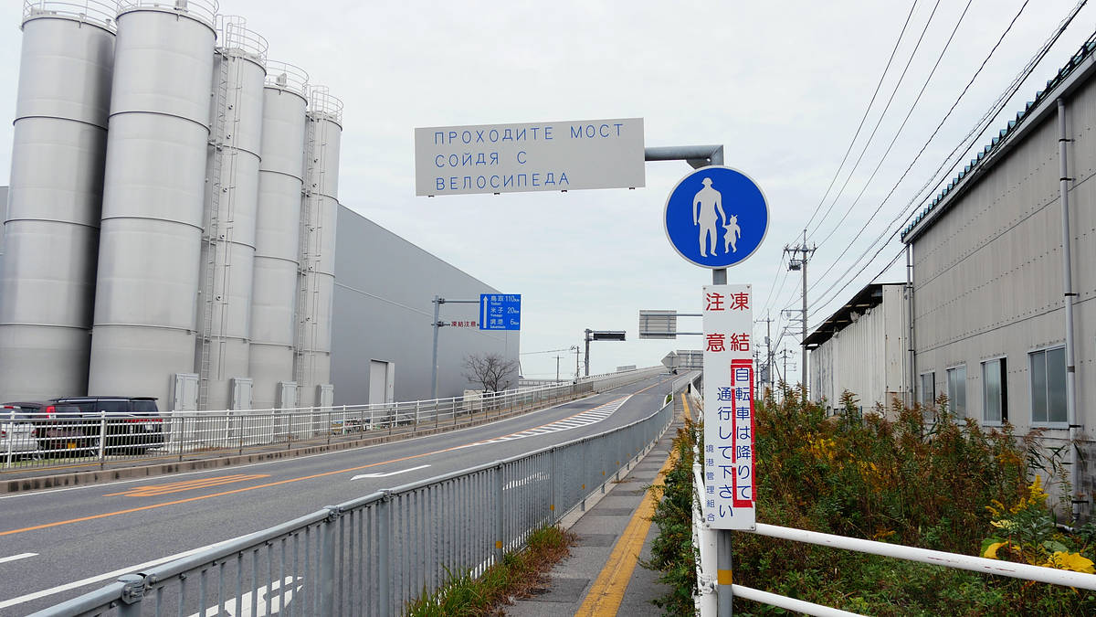
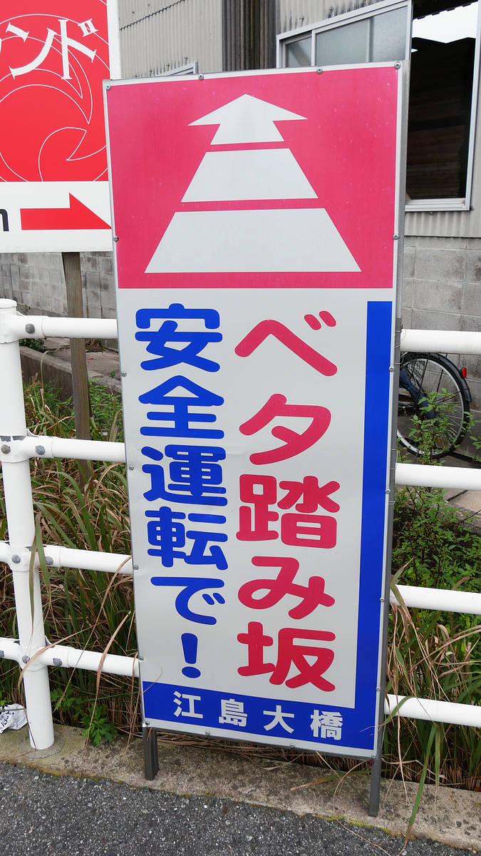
Perhaps for this reason, there were signs posted urging people to drive safely.
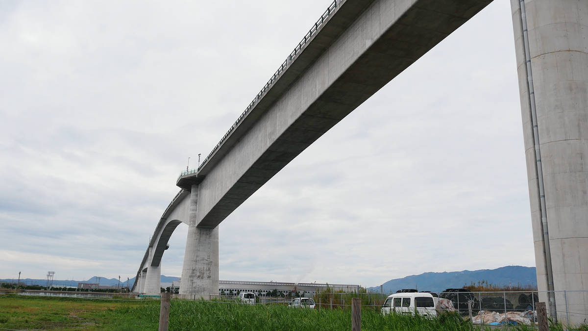
With a central span of 250m, it is the longest PC rigid frame bridge in Japan and the third longest in the world.
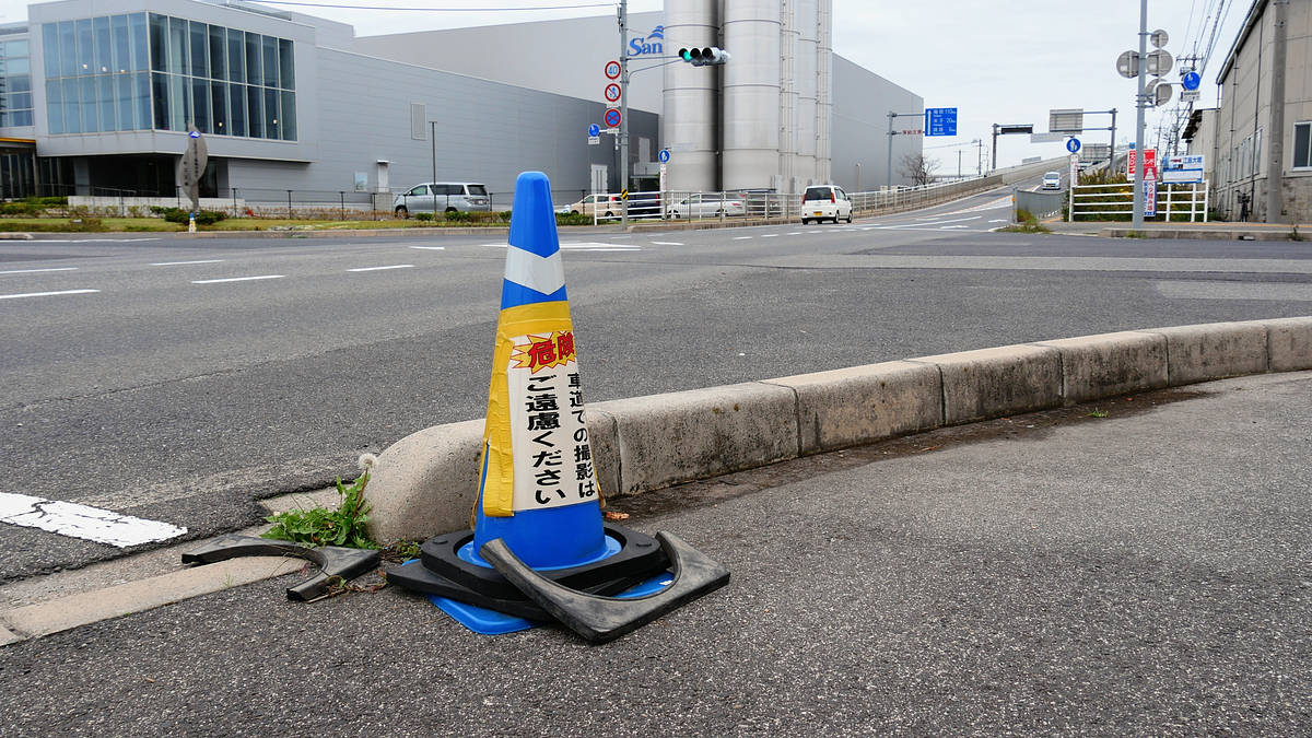
There were many traffic cones set up with warnings saying 'Please refrain from taking photos on the road,' likely due to the large number of people heading out onto the road to take impressive photos.
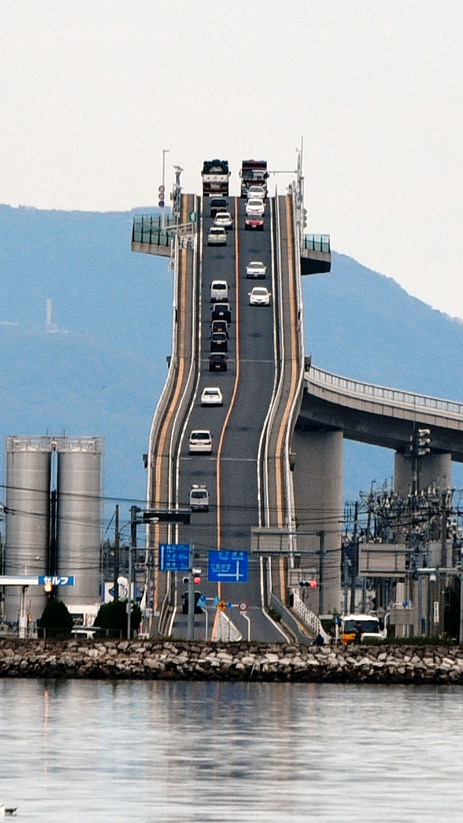
This is what it looks like from the front of the bridge. Unlike the Sakaiminato side, it looks like it stretches straight up into the sky.
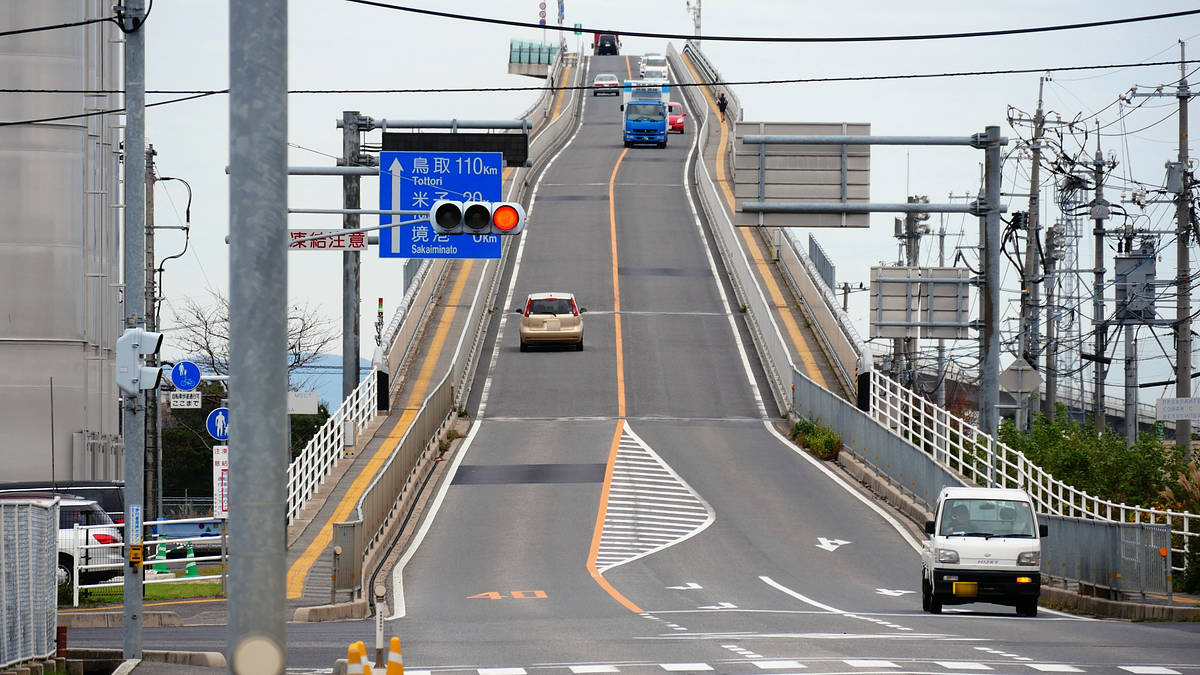
However, unlike the poster, it doesn't look like a wall. I slowly moved away from the bridge and took more photos, but then the sign got in the way...
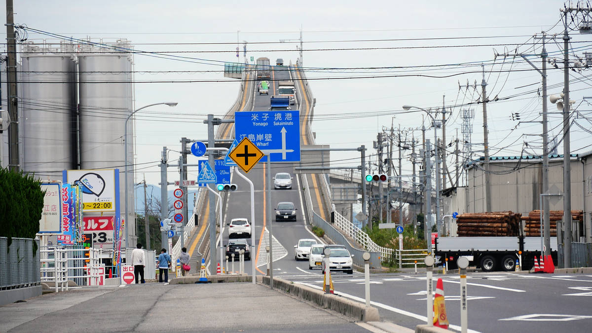
I made it back across from the Family Mart, but it still didn't look the way I wanted it to.

If I went a little further, the bridge would have been closer to the wall. However, on the other side of the bridge, there was a T-shaped intersection at the corner of Family Mart, and it was a dead end. ...However, there was land on the extension of that dead end. It was quite far away, but could it really be there?
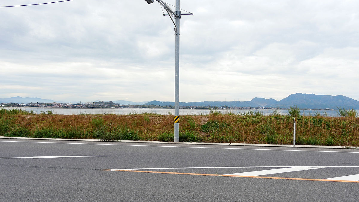
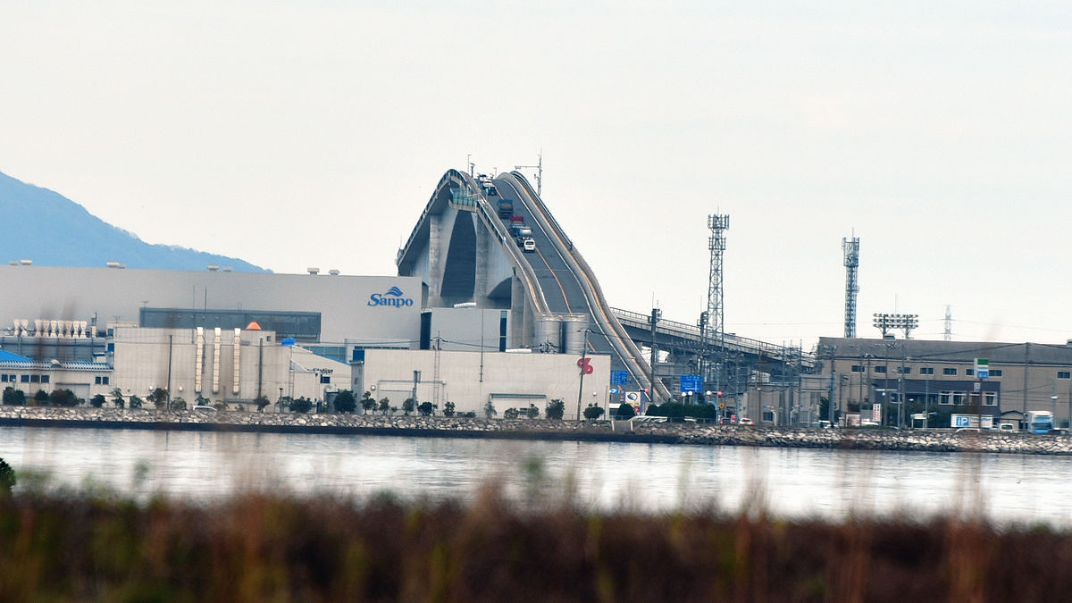
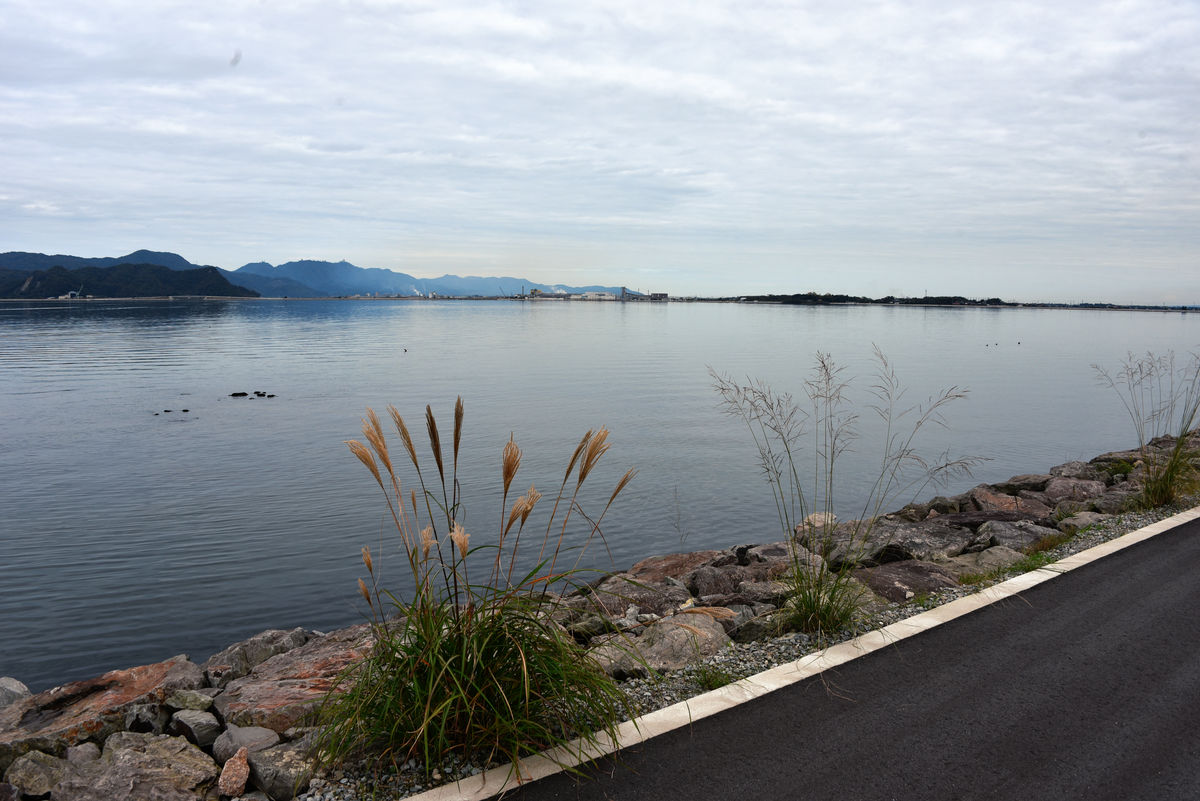
All I could see was the coastline of Daikonjima, located to the west of Eshima. With high hopes, I headed away from Eshima Ohashi Bridge. Now only the top of the bridge, which had been so high, was visible.
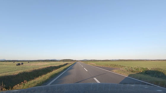
The coastline was maintained like a sidewalk from the village along the way. Looking at the map, there is an old road inside this coastline road, so it seems that the sidewalk was probably added when the new road was constructed.
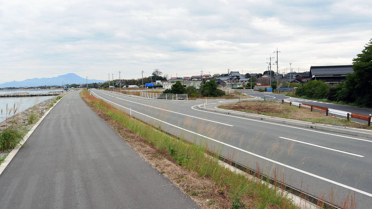
As the road along the coast curves to the left, you can no longer see the Eshima Bridge, so I went just before it, but I ended up going too far.
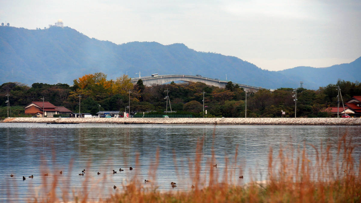
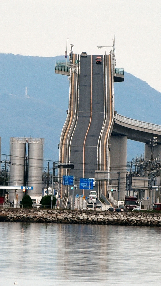
So I went back a little and finally found an angle that looked the same as the poster. Because I was zoomed in so much, I couldn't read the letters on the road signs, but the Eshima Ohashi Bridge, which is much taller than the surrounding buildings, looks like a wall or a thin building.
It's a bit lonely when there aren't many cars.
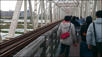
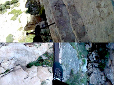
This is what it looks like under my feet. I'm glad there's a sidewalk so I can concentrate on taking photos.
It's around this small island. However, it's possible that a boat was used to shoot the poster.
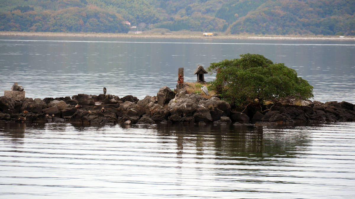
If you are planning to visit Eshima Ohashi Bridge in the future and have the time, be sure to check this out from the angle as well.
Related Posts:

in Coverage, Posted by logc_nt